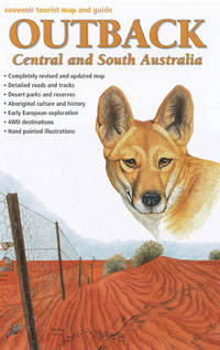
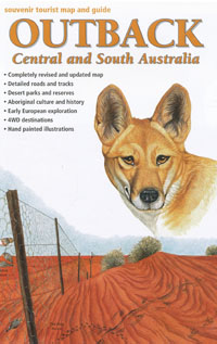
Outback Central and South Australia Map Westprint
$12.95 – $24.95
Description:
This excellent series of tourist maps for South Australia is produced by the South Australian Government survey and mapping department.
The maps show clear road and track information and include facility symbols, distances and tourist information.
The Outback, Flinders Ranges and Kangaroo Island maps are of particularly good quality.
The Outback Central & South Australia map was revised and reprinted by Westprint maps in 2004. It covers the area between Uluru, Ceduna, Port Augusta, Broken Hill, Cameron Corner and Diamantina (Qld).
ISBN 9781875608263
Read More


