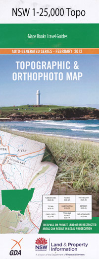
Parnell 1-25,000 NSW Topographic Map
$16.95 – $31.95
Description:
9032-1-S Print on Demand
Locations within this Map
Hillsdale Oakleigh Back Arm Creek Back Creek Big Burrendoo Bulga Bulga Creek Bulga Mountains Bulgar California Cowparlor Darkey Creek Fig Tree Camp King Junction Kings Cross Little Burrendoo Little Burrendoo Creek Milbrodale Brook Milbrodale Creek Milbrodale Shelf Neebo Neebo Hill Oakey Creek Oaky Arm Parnell Parnell Spring Parsons Creek Pickle Bottle Creek Poppong Poppong Creek Mount Poppong Raspberry Creek Soup Pan Creek Terrys Creek The Inlet Tonga Tonga Creek Tonga Island Whybrow Wild Arm Doyle Clearing Burrendoo Creek
| Name: | Parnell |
| Publisher: | New South Wales Government |
| Scale: | 1:25000 |
| Latitude Range: | 32° 37.5′ S – 32° 45.0′ S |
| Longitude Range: | 150° 45.0′ E – 151° 0.0′ E |
| Datum: | GDA 94 |
| Approx Print Size: | 0.56m X 1.11m |
Read More

