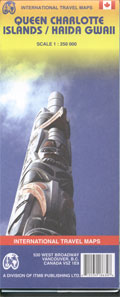
Queen Charlotte Islands Map ITMB
$24.95
Description:
Queen Charlotte Islands Map ITMB of the islands with topographical contours and elevations in meters shown by numbers on map.
Legend locates roads from paved roads to tracks/foot trails; settlements (abandoned and inhabited); abandoned Haida Indian villages; other ancient Haida sites; points of interest; mines; museums; shipwrecks; lighthouses; offshore rocks; reefs and rock ledges; seaplane anchorages; boat launches; campgrounds and trailer parks; picnic areas; reserves, parks, and Indian reserves; forested areas.
Comprehensive information on the Haida Indians; historic background; practical information for visitors.
Scale 1:250,000. With inset regional map. Printed on one side.
Text: English, French
To be replaced by a new map titled Haida Gwaii/Queen Charlotte Islands & BC Coast ITM
Read More

