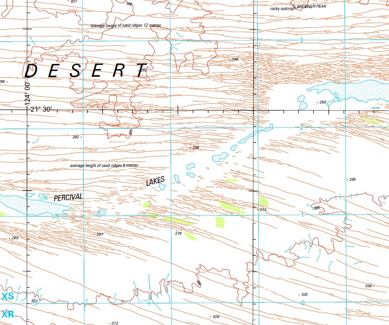
Sahara 1-250,000 Topographic Map
$15.95 – $30.95
Description:
Locations within this Map
Bejah Well Bremner Peak Gindarjarie Native Well Larsen Claypan Mellinjerie Well Mendigigil Rockhole Moogera Rockhole Muir Crossing Native Well Percival Lakes Picture Hill Sahara Well Said Ameer Hill Swindell Field Tandalgoo Rockhole Twin Gum Hill Mellinjerie Native Well
| Name: | Sahara |
| Publisher: | Geoscience Australia (Australian Government) |
| Scale: | 1:250000 |
| Latitude Range: | 21° 0.0′ S – 22° 0.0′ S |
| Longitude Range: | 123° 0.0′ E – 124° 30.0′ E |
| Projection / Datum: | Universal Transverse Mercator, GDA94 |
| Approx Print Size: | 0.44m X 0.67m |
| Publication Date: | 1-Jun-87 |
Read More


