Saint Arnaud 1-50,000 Vicmap
$12.00 – $24.00
Description:
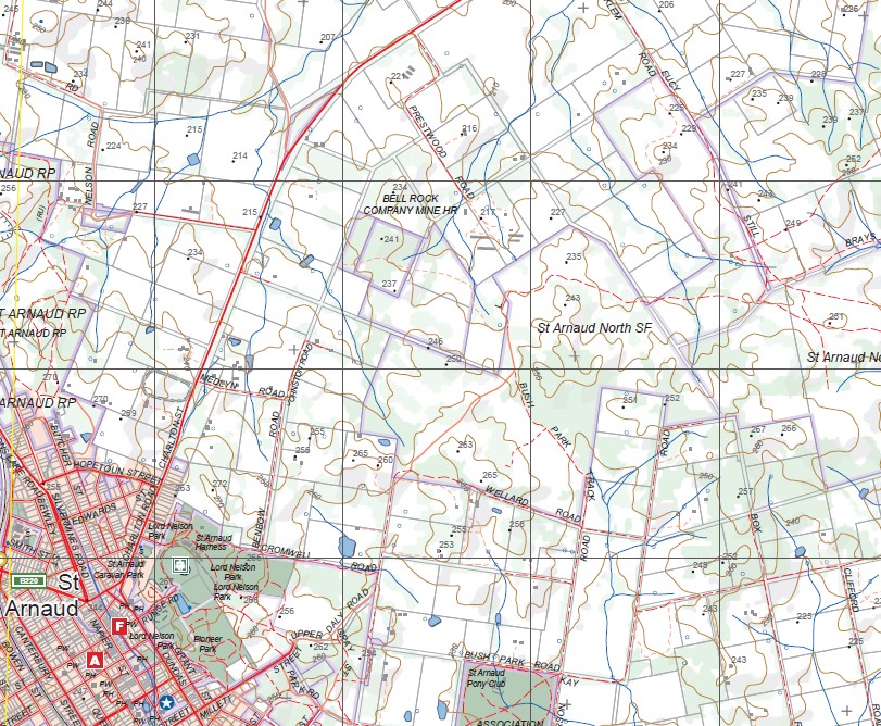
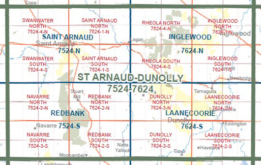
Saint Arnaud 1-50,000 scale Vicmap Topographical map 7524N is used for Walking, 4WD, Fishing, Camping, Motorcycle, both On and Off Road, Gold Prospecting and for those simply going for a family weekend drive.
Topographical maps show not only Contours of the Terrain but Walking Tracks, Sealed and Unsealed Roads, Rivers, Creeks, Lakes, Historical Points of Interest, Old Mine Sites mbtg and National and State Park areas.
Main Features of this map includes:
Saint Arnaud township, Saint Arnaud National Park, Avoca River, Logan, laty Creek, Gowar East, Berrimal, Logan, St Arnaud East, Stockham Bridge, Raven Hill, Yawong Low Water Bridge, Gowar NCR, mbtg, St Arnaud North State Forest, Gowar South NCR, Hard Hills NCR, Sally Gully Mine, Erivan Hill Mine, Bell Rock Company Mine HR, Kooreh, Carapooee Creek, Saint Arnaud South State Forest, mbtg, Stoney Creek NCR, part of Kara Kara National Park, Emu, Lower Emu, Carapooee West, part of Stuart Mill NCR, edge of Tunstalls NCR, mbtg, Campbell Creek, Moolerr BR, Peters Mine, Carapooee Mine, Andos Mine
Swanwater, Sutherland, Gre Gre North, St Arnaud North, Swanwater West, Traynors Lagoon, mbtg, Gre Gre BR, St Arnaud RP, Sebastopol Hill, Bakery Hill, Darkbonee BR, Mitchells Hill, mbtg, Gre Gre, St Arnaud South SF, Gre Gre South, Langdons Bridge, St Arnaud RP, St Arnaud Aerodrome Airfield, Darcys Bridge, Carrols Bridge, Stoney Creek NCR, mbtg, Mount Bolangum NCR, Beazleys Bridge, Kara Kara NP, Tottington BR, Big Tottington NCR, part of the Great Dividing Range The Pyreness


