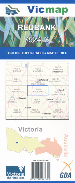
Redbank 1-50,000 Vicmap
$12.00 – $24.00
Description:
Redbank 1-50,000 scale Vicmap Topographical map 7524S is used for Walking, 4WD, Fishing, Camping, Motorcycle, both On and Off Road, Gold Prospecting and for those simply going for a family weekend drive.
Topographical maps show not only Contours of the Terrain but Walking Tracks, Sealed and Unsealed Roads, Rivers, Creeks, Lakes, Historical Points of Interest, Old Mine Sites mbtg and National and State Park areas.
Main Features of this map includes:
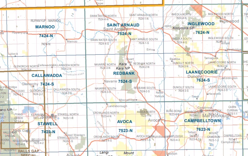
Redbank, Landsborough, Stuart Mill, Moonambel, Navarre, Avoca River, Kara National Park, Stuart Mill, Archdale, Part of Stuart Mill NCR, Railton Mine, Part of Tunstalls NCR, Dalyenong, Lloyds Whip Shaft NCR, Mount Hawkins, mbtg, Teddington Camping Area, Lambing Flat Track, The Pyrenees, Part of The Great Dividing Range, Voss Bridge., mbtg, Redbank, Natte Yallock, Moonambel, Part of The Pyrenees, Part of Kara Kara NP, Moyreisk, Mount Separation Reference Area (no public access), Part of The Great Dividing Range.
Mount Bolangum NCR, Big Tottington NCR, Paradise, McKenzies Bridge, Gifford Bridge, Wingfields Bridge, Rostron, Part of Kara Kara NP, Part of Stuart Mill NCR, Little Tottington SF, Kanya, Darlington Bridge, mbtg, Reedy Creek Bridge, South Bridge, Winjallock, Austerberrys Bridge, Part of The Great Dividing Range The Pyrenees, Stricta Hill, Penningtons Bridge, Dicksons Crossing, Morrl Morrl NCR., mbtg, Navarre, Frenchmans, Navarre Hill, Part of The Great Dividing Range, Part of Kara Kara NP, Part of The Pyrenees, Morrows Silt Trap, Mount Separation Reference Area (No Public Access), Landsborough Hill NCR, Dozer Line Track, Wattle Creek, Friends Creek, Part of the St Arnaud – Pyrenees SF.


