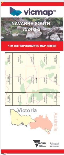
NAVARRE SOUTH 1-25,000 Vicmap Topo Map 7524-3-S
Price range: $14.00 through $26.00
Description:
NAVARRE SOUTH 1-25,000 Vicmap Topographic Map 75243S Now Print On Demand is used for Walking, 4WD, Fishing, Camping, Motorcycle, both On and Off Road, Gold Prospecting and for those simply going for a family weekend drive.
This is a new series of 1-25,000 scale maps, all of Victoria is now covered by these maps, including maps over the South Australian and NSW Borders.
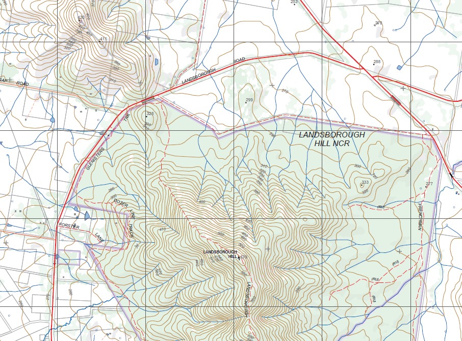
Topographical maps show not only Contours of the Terrain but Walking Tracks, Sealed and Unsealed Roads, Rivers, Creeks, Lakes, Historical Points of Interest, Old Mine Sites, mbtg and National and State Park areas.
Main Features of this map includes:
Navarre, Frenchmans, Navarre Hill, Part of The Great Dividing Range, Part of Kara Kara NP, Part of The Pyrenees, Morrows Silt Trap, Mount Separation Reference Area (No Public Access), Landsborough Hill NCR, Dozer Line Track, Wattle Creek, Friends Creek, Part of the St Arnaud – Pyrenees SF.
You may also like…
-
REDBANK NORTH 1-25,000 Vicmap Topo Map 7524-2-N
Price range: $14.00 through $26.00Select options This product has multiple variants. The options may be chosen on the product page -
Redbank 1-50,000 Vicmap Topographical Map 7524-S
Price range: $14.00 through $26.00Select options This product has multiple variants. The options may be chosen on the product page -
NAVARRE NORTH 1-25,000 Vicmap Topo Map 7524-3-N
Price range: $14.00 through $26.00Select options This product has multiple variants. The options may be chosen on the product page -
REDBANK SOUTH 1-25,000 Vicmap Topo Map 7524-2-S
Price range: $14.00 through $26.00Select options This product has multiple variants. The options may be chosen on the product page