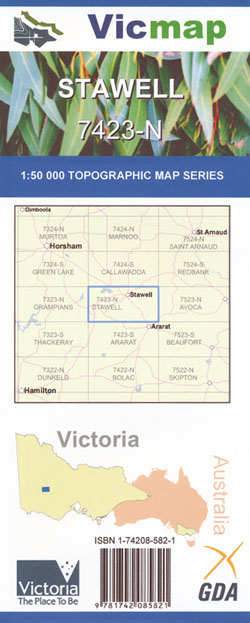

Stawell 1-50,000 Vicmap Topographical Map 7423-N
Price range: $14.00 through $26.00
Description:
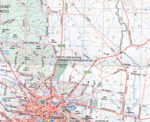
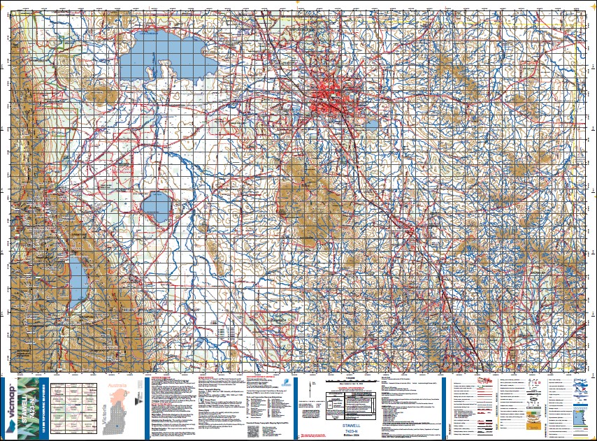
Stawell 1-50,000 scale Vicmap Topographical Map 7423-N is used for Walking, 4WD, Fishing, Camping, Motorcycle, both On and Off Road, Gold Prospecting and for those simply going for a family weekend drive.
Topographical maps show not only Contours of the Terrain but Walking Tracks, Sealed and Unsealed Roads, Rivers, Creeks, Lakes, Historical Points of Interest, Old Mine Sites mbtg and National and State Park areas.
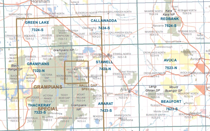
Main Features of this map includes:
Stawell and Great Western, Halls Gap Townships, Pomonal
The eastern edge of the Grampians, Mount Difficult
Black Range State Reserve, Deep Lead Nature Conservation Reserve
Lake Bellfield, Lake Lonsdale, Mount Drummond, Mount Dryden, Joel Joel NCR, Mount Roswell, Ararat RP, Illawarra State Forest, Jallukar NCR, Lake Fyans
ISBN 9781742085821
You may also like…
-
Avoca 1-50,000 Vicmap
Price range: $12.00 through $24.00Select options This product has multiple variants. The options may be chosen on the product page -
Beaufort 1-50,000 Vicmap
Price range: $12.00 through $24.00Select options This product has multiple variants. The options may be chosen on the product page -
Grampians Peaks Trail Map Set 3 Maps
Price range: $26.95 through $50.95Select options This product has multiple variants. The options may be chosen on the product page -
Ararat 1-50,000 scale Vicmap Topo Map 7423-S
Price range: $12.00 through $24.00Select options This product has multiple variants. The options may be chosen on the product page