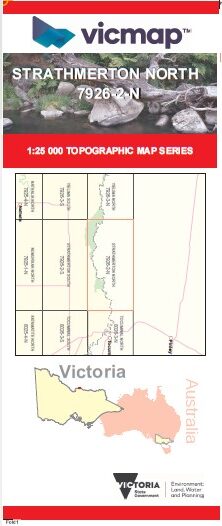


STRATHMERTON NORTH 1-25,000 Vicmap Topo 7926-2-N
Price range: $14.00 through $26.00
Description:
STRATHMERTON NORTH 1-25,000 Vicmap Topographic Map 79262N Now Print On Demand is used for Walking, 4WD, Fishing, Camping, Motorcycle, both On and Off Road, Gold Prospecting and for those simply going for a family weekend drive.
This is a new series of 1-25,000 scale maps, all of Victoria is now covered by these maps, including maps over the South Australian and NSW Borders.
Topographical maps show not only Contours of the Terrain but Walking Tracks, Sealed and Unsealed Roads, Rivers, Creeks, Lakes, Historical Points of Interest, Old Mine Sites, mbtg and National and State Park areas.
Main Features of this map includes:
Covers the old series Strathmerton North at the same scale and area covered
Part of the River Murray, part of Tocumwal RP, Doctors Bend Camping Area, part of Barmah NP, Black Engine Lagoon Camping, mbtg, Boss Beach Camping Area, Arnalds Camping Area, Ulupna Beach Track, Ulupna Island, Pinnucks Crossing
You may also like…
-
STRATHMERTON SOUTH 1-25,000 Vicmap Topo 7926-2-S
Price range: $14.00 through $26.00Select options This product has multiple variants. The options may be chosen on the product page -
Barmah Shepparton Deniliquin Adventure Map Haymans
Price range: $12.95 through $25.00Select options This product has multiple variants. The options may be chosen on the product page -
Strathmerton 1-50,000 NSW Topographic Map
Price range: $16.95 through $31.95Select options This product has multiple variants. The options may be chosen on the product page -
YIELIMA SOUTH 1-25,000 Vicmap Topo Map 7926-3-S
Price range: $14.00 through $26.00Select options This product has multiple variants. The options may be chosen on the product page -
Strathmerton 1-50,000 Vicmap Topo Map 7926-S
Price range: $14.00 through $26.00Select options This product has multiple variants. The options may be chosen on the product page -
TUPPAL BERRIGAN 1-100,000 Vicmap Topo 7926-8026
Price range: $14.00 through $26.00Select options This product has multiple variants. The options may be chosen on the product page -
YIELIMA NORTH 1-25,000 Vicmap Topo Map 7926-3-N
Price range: $14.00 through $26.00Select options This product has multiple variants. The options may be chosen on the product page