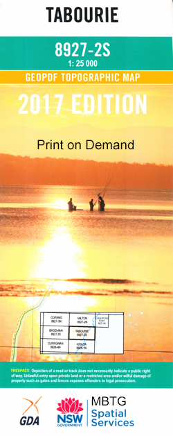
Tabourie 1-25,000 NSW Topographic Map
$16.95 – $31.95
Description:
8927-2-S Print on Demand
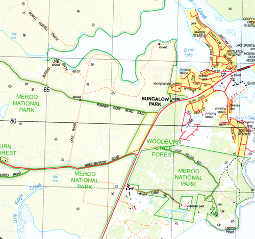
Burrill Lake Lake Tabourie Bawley Point Boodabah Creek Boondobah Creek Boyne Boyne Creek Brandaree Creek Carisbrook Creek Crampton Island Deep Creek Flat Rock Flat Rock Creek Flat Rock State Forest Four Mile Creek Hawks Nest Gully Ingolds Knob Lookout Dermal Creek Hawkes Nest Gully Knights Creek Lagoon Head Lemon Tree Creek Lucy Kings Creek Meroo Head Meroo Lake Meroo Point Morton Munno Creek Murramarang Creek Native Dog Creek North Beach North Brooman State Forest Nuggan Point Prospect Hill Reedy Creek Round Hill Saltwater Creek Stockyard Creek Stokes Island Tabourie Creek Tabourie Lake Tabourie Lake Post Office Tabourie Point Termeil Termeil Creek Termeil Lake Termeil Point Termeil State Forest Toomboolomobah Creek Toubouree Creek Toubouree Lake Toubouree Lake Post Office Toubouree Point Tumblebar Creek Turpy Gully Wairo Beach Wasons Creek Willinga Lake Willinga Point Woodburn Woodburn State Forest Dolphin Point Double Creek Bungalow Park Burrill Beach Burrill Inlet Burroman Creek Cooper Creek Barker Reserve Burrill Lake Lions Park Smithys Point Racecourse Beach Burril Lake Crampton Islet Stokes Islet Merro Lake Merroo Lake Brooman First Sandy Point
| Name: | Tabourie |
| Publisher: | New South Wales Government |
| Scale: | 1:25000 |
| Latitude Range: | 35° 22.5′ S – 35° 30.0′ S |
| Longitude Range: | 150° 15.0′ E – 150° 30.0′ E |
| Datum: | GDA 94 |
| Approx Print Size: | 0.56m X 1.11m |


