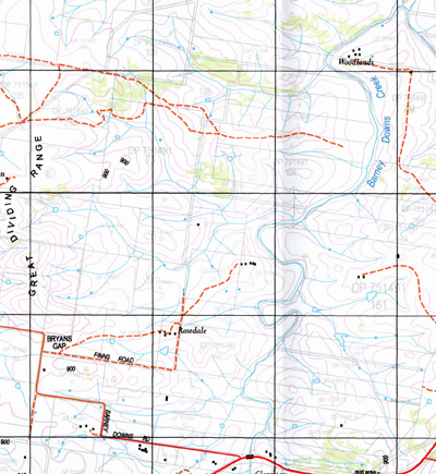
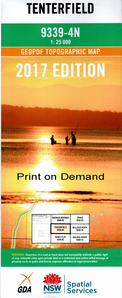
Tenterfield 1-25,000 NSW Topographic Map
$16.95 – $31.95
Description:
9339-4-N Now Print on Demand
Locations within this Map
Woodlands Windy Ridge Hillcrest Oak Bank Warrawee Glendon Rosedale Lyandilla Rit-Eni Argyle Gageborough Timbarra Popular Gardens Rosehill Wellpark Waterview Clareview Rose Lea The Nutshell Hazeldean Willrose Aldershot Mountain View Koorooba Mayon Mount Willowdale Heatherbrae Kilmurry Cooredulla Athlyne Hiawatha Ayrdrie Conamora Loch Lomond Eureka Lyndale Isla Willgoose Canowindra Daisy Mount Rose Hill Panorama Rockley Coolalinga Tenterfield Bananimble Bananimble Creek Bark Creek Barney Downs Barney Downs Creek Barney Downs Swamp Black Swamp Blacksmiths Swamp Blacksmiths Creek Black Mountain Black Gully Branch Creek Branch Gully Branch of Tenterfield Creek Bruxner Park Bryans Gap Bryans Gap Creek Cataract River Commissioners Creek Common At Tenterfield Dairy Demon Creek Ghost Gully Grass Tree Creek Grasstree Swamp Creek Green Swamp Green Swamp Creek Groombridges Creek Hawkins Creek Johanna Creek Jubilee Park Jump Up Creek Grasstree Swamp Groombridges Swamp Hawkins Gully Head of Green Swamp Leechs Gully Little Demon Creek Middle Creek Nolans Gully The Pinnacle Pitkins Swamp Creek Pitkins Swamp Quigeram Pinnacle Sandy Creek Sheet of Bark Creek Sir Henry Parkes Memorial Public School Steinbrook Sugarloaf Swamp Oak Creek Tenterfield Cemetery Tenterfield Creek Tenterfield General Cemetery Tenterfield High School Tenterfield Park Tenterfield Post Office Tenterfield Railway Station Tenterfield Showground The Scrub Timbarra Lookout Walkers Gully Washbrook Creek Willow Bend Willow Bend The Dickson Donnellys Sugarloaf Dudleys Springs Gully Dudleys Springs Branch Swamp Bungulla Bungulla Platform Tenterfield Rotary Park Washpool Creek Tenterfield Station Tenterfield Municipality
| Name: | Tenterfield |
| Publisher: | New South Wales Government |
| Scale: | 1:25000 |
| Latitude Range: | 29° 0.0′ S – 29° 7.5′ S |
| Longitude Range: | 152° 0.0′ E – 152° 15.0′ E |
| Datum: | GDA 94 |
| Approx Print Size: | 0.56m X 1.11m |


