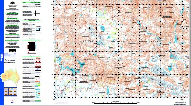
Trainor 1-250,000 Topographic Map
$15.95 – $30.95
Description:
Print on Demand
Part of the Canning Stock Route Wiluna to Halls Creek
Locations within this Map
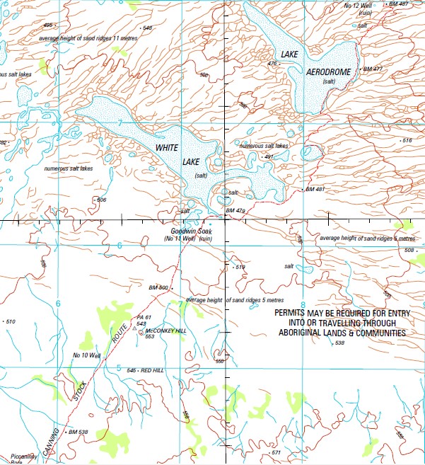
Brassey Range Cornelia Range Goodwin Soak No. 11 Well Joes Bore Kelly Range Lake Aerodrome Little Sandy Desert Macintosh Hill Mcconkey Hill No. 10 Well No. 12 Well No. 13 Well No. 14 Well No. 15 Well Oldham Range Phenoclast Hill Piccaninny Bore Quadrio Lake Red Hill Ripple Hill Sunbeam Creek Trainor Hills Ward Hills White Lake Mackintosh Hills The Mackintosh Hill Goodwin Soak McConkey Hill Western Australia State of Western Australia
| Name: | Trainor |
| Publisher: | Geoscience Australia (Australian Government) |
| Scale: | 1:250000 |
| Latitude Range: | 24° 00.0′ S – 25° 0.0′ S |
| Longitude Range: | 121° 30.0′ E – 123° 0.0′ E |
| Projection / Datum: | Universal Transverse Mercator, GDA94 |
| Approx Print Size: | 0.44m X 0.67m |
| Publication Date: | 1-Jun-03 |
Read More


