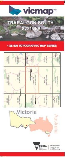

TRARALGON SOUTH 1-25,000 Vicmap Topo Map 8221-4-S
Price range: $14.00 through $26.00
Description:
TRARALGON SOUTH 1-25,000 Vicmap Topographic Map 82214S NOW PRINT ON DEMAND is used for Walking, 4WD, Fishing, Camping, Motorcycle, both On and Off Road, Gold Prospecting and for those simply going for a family weekend drive.
This is a new series of 1-25,000 scale maps, all sections of Victoria are covered by these maps.
Topographical maps show not only Contours of the Terrain but Walking Tracks, Sealed and Unsealed Roads, Rivers, Creeks, Lakes, Historical Points of Interest, Old Mine Sites mbtg and National and State Park areas.
Main Features of this map includes:
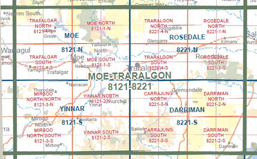
Covers the old series1-25,000 Vicmaps Traralgon and Flynn
Traralgon, Flynn, Glengarry, Glengarry West, Traralgon Railway Reservoir Conservation Reserve, Loy Yang, Flynns Creek Upper, Flynn Truck Stop Westbound
You may also like…
-
TRARALGON NORTH 1-25,000 Vicmap Topo Map 8221-4-N
Price range: $14.00 through $26.00Select options This product has multiple variants. The options may be chosen on the product page -
Walhalla Woods Point Adventure Map Rooftop
Price range: $12.95 through $25.00Select options This product has multiple variants. The options may be chosen on the product page -
Rosedale 1-50,000 Vicmap
Price range: $12.00 through $24.00Select options This product has multiple variants. The options may be chosen on the product page