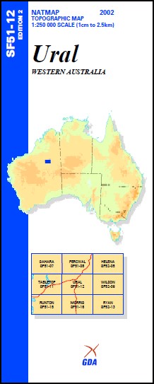
Ural 1-250,000 Topographic Map
$15.95 – $30.95
Description:
Ural 1-250,000 Topographic Map SF5112 Print on Demand
Part of the Canning Stock Route Wiluna to Halls Creek
Locations within this Map
Billigilli Native Well Bungabinni Well Gary Junction Gunowaggi Well Kidson Bluff Kidson Field Kunawaritji Community Libral Well Mallowa Native Well Minjoo Well Mount Shoesmith Nibil Well No. 32 Well Reeves Knoll Ural Native Well Veevers Meteorite Crater Wanda Well Wandurba Rockhole Ural Well Libral Sungabinni Well Mallowa
| Name: | Ural |
| Publisher: | Geoscience Australia (Australian Government) |
| Scale: | 1:250000 |
| Latitude Range: | 22° 0.0′ S – 23° 00.0′ S |
| Longitude Range: | 124° 30.0′ E – 126° 0.0′ E |
| Projection / Datum: | Universal Transverse Mercator, GDA94 |
| Approx Print Size: | 0.44m X 0.67m |
| Publication Date: | 1-Jun-03 |
Read More


