Canning Stock Route Topographic Map Set
$220.00
Description:
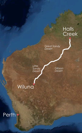
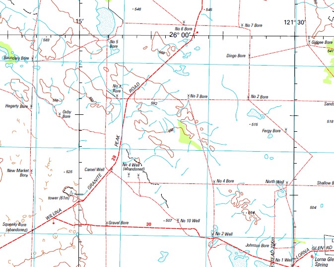
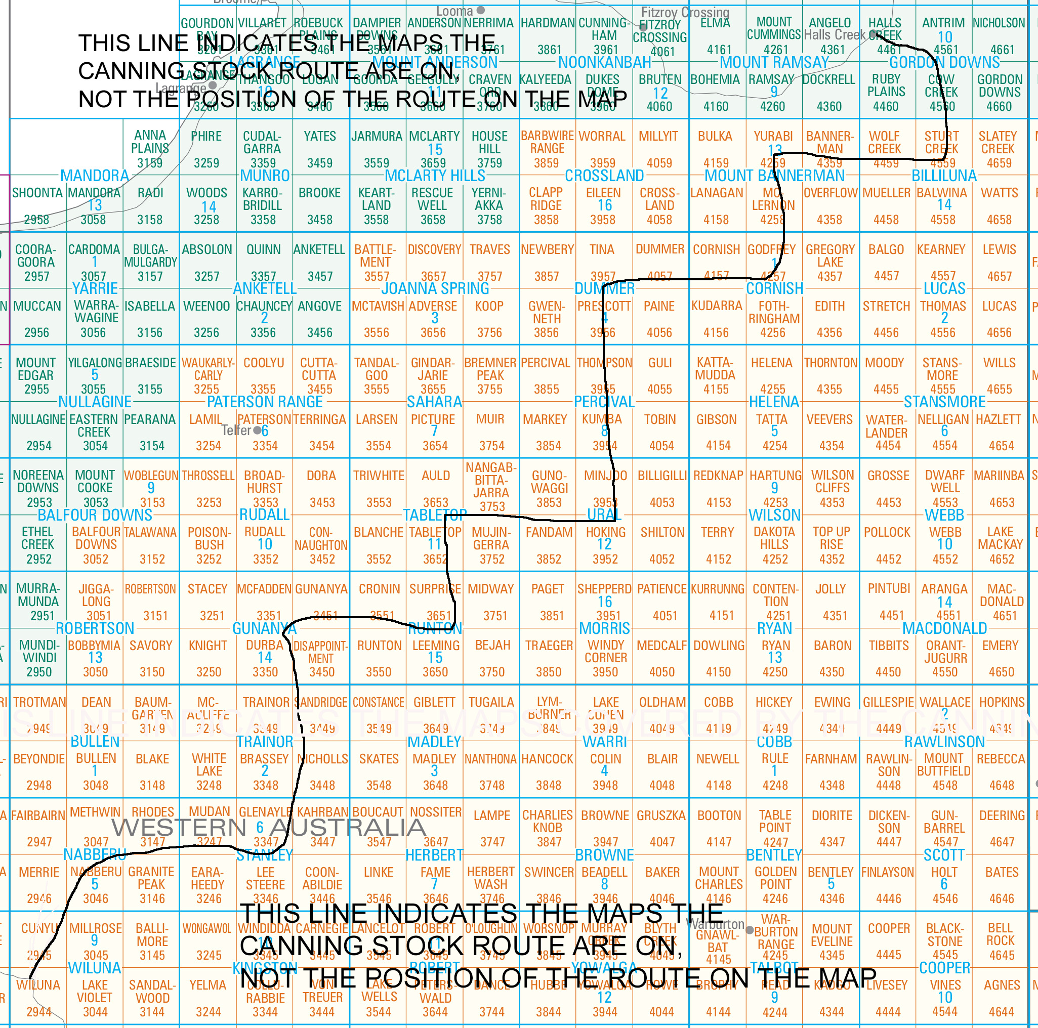
This 1-250,000 Topographic Map Set covering the Canning Stock Route from Wiluna to Halls Creek contains 14 maps, which are:-
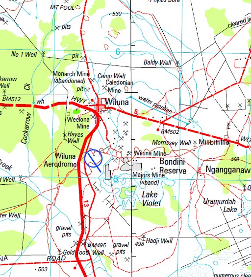
Wiluna From Wiluna North for 100 – 120km
Nabberu Number 3 Government Well to Canning Bore past Number 8 Government Well
Stanley Just catches the North West corner of the map
Trainor Piccaninay Bore to past Number 15 Well
Gunanya Well Number 16 past Kiilagura Springs to the meeting of the Talawana Track
Runton The turn off to the Talawana Trck to Well 25
Tabletop No 25 Well to No 32 Well (ABANDONED)
Ural No 32 Well past Kunawartiji to Wardabunni Rockhole
Percival Wardabunni Rockhole over Tobin Lake past Billowagi Native Waterhole
Dummer Only the bottom left corner of the map at Gravity Lakes
Cornish Gravity Lakes to past Delivery Camp Waterhole
Mount Bannerman Lake Gregory to Bloodwood Well
Billiluna The Stock Route joins the Tanami Track at Mindibungu
Gordon Downs The Tanami Track to the Great Northern Highway and Halls Creek
Each of these maps are sold individually, for the particular map with more information on each map, use the search function and the name of the map.
You may also like…
-
Trainor 1-250,000 Topographic Map
$15.95 – $30.95Select options This product has multiple variants. The options may be chosen on the product page -
Cornish 1-250,000 Topographic Map
$15.95 – $30.95Select options This product has multiple variants. The options may be chosen on the product page -
Gordon Downs 1-250,000 Topographic Map
$15.95 – $30.95Select options This product has multiple variants. The options may be chosen on the product page -
Percival 1-250,000 Topographic Map
$15.95 – $30.95Select options This product has multiple variants. The options may be chosen on the product page -
Mount Bannerman 1-250,000 Topographic Map
$15.95 – $30.95Select options This product has multiple variants. The options may be chosen on the product page -
Stanley 1-250,000 Topographic Map
$15.95 – $30.95Select options This product has multiple variants. The options may be chosen on the product page -
Nabberu 1-250,000 Topographic Map
$15.95 – $30.95Select options This product has multiple variants. The options may be chosen on the product page -
Runton 1-250,000 Topographic Map
$15.95 – $30.95Select options This product has multiple variants. The options may be chosen on the product page -
Billiluna 1-250,000 Topographic Map
$15.95 – $30.95Select options This product has multiple variants. The options may be chosen on the product page -
Gunanya 1-250,000 Topographic Map
$15.95 – $30.95Select options This product has multiple variants. The options may be chosen on the product page -
Tabletop 1-250,000 Topographic Map
$15.95 – $30.95Select options This product has multiple variants. The options may be chosen on the product page -
Dummer 1-250,000 Topographic Map
$15.95 – $30.95Select options This product has multiple variants. The options may be chosen on the product page -
Ural 1-250,000 Topographic Map
$15.95 – $30.95Select options This product has multiple variants. The options may be chosen on the product page


