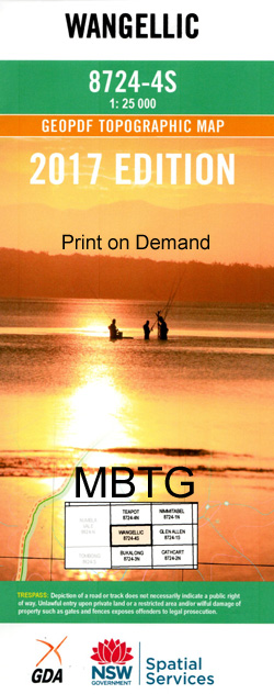
Wangellic 1-25,000 NSW Topographic Map
$16.95 – $31.95
Description:
8724-4-SPrint on Demand
Locations within this Map
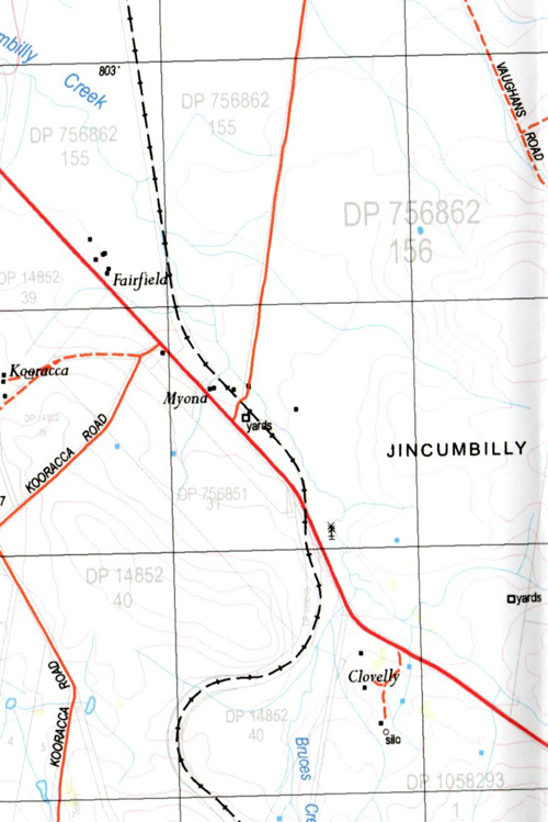
Attwater Creek Bald Hill Bald Hill Creek Barkers Lake Barkus Lake Beards Lake Black Spring Creek Black Lake Boundary Lake Bruces Creek Cambalong Creek Campbells Spring Creek Mount Cooper Coopers Hill Gunning Grach Island Lake Jincumbilly Jincumbilly Creek Jincumbilly Railway Station Khalassa Long Corner Creek Merringaah Mount Mount Cooper Creek Mount Cooper Peak Creek Peak Creek Peters Shandy Bush Shandy Bush Hill Spring Creek Stockyard Creek Sugarloaf Hill Tingecombes Gully Tivy Wangellic Wangellic Hill Washpool Lake Wellesley Bungarby Bungarby Creek Bungee Peak Bungee Peak Creek Burns Lakes Mckenzies Hill Rosemount Roslyn Bald Hills Wangellie Ando
| Name: | Wangellic |
| Publisher: | New South Wales Government |
| Scale: | 1:25000 |
| Latitude Range: | 36° 37.5′ S – 36° 45.0′ S |
| Longitude Range: | 149° 0.0′ E – 149° 15.0′ E |
| Datum: | GDA 94 |
| Approx Print Size: | 0.56m X 1.11m |
Read More


