WARRNAMBOOL NORTH 1-25,000 Vicmap Topographic Map 7321-2-N
$14.00 – $26.00
Description:
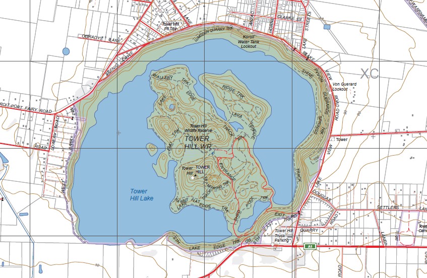
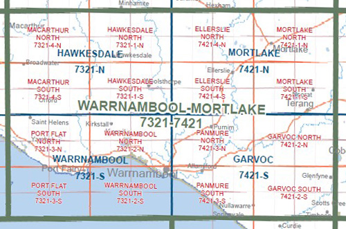
WARRNAMBOOL NORTH 1-25,000 Vicmap Topographic Map 7321-2-N Walking, 4WD, Fishing, Camping, Motorcycle, both On and Off Road, Gold Prospecting and for those simply going for a family weekend drive.
This is a new series of 1-25,000 scale maps, all sections of Victoria are now covered by these maps, including maps over the South Australian and NSW Borders.
Topographical maps show not only Contours of the Terrain but Walking Tracks, Sealed and Unsealed Roads, Rivers, Creeks, Lakes, Historical Points of Interest, Old Mine Sites, mbtg and National and State Park areas.
Main Features of this map includes:
Now also covers the Old Edition KOROIT and DENNINGTON 1-25,000 map
Koirot, Kirkstall, Dennington, Mailors Flat, Yarpturk, Rosebrook, Yangery, Bushfield, Lumsden Quarry Track, Koirot Water Tank Lookout, Crossley, Tower Hill Lake, Wallaby Track, Tower Hill Wildlife Reserve, Shed Pool Track, Rabbit Flat Track, mbtg, Shine Springs Track, Lava Tongue, Von Guerard Lookout, Belfast CR Coast Res, Basin Track, Sisters Point, Killarney Beach, Belfast Lough, part of Port Fairy Coast Res, Reef Point, Kelly Swamp.


