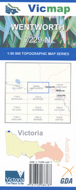
Wentworth 1-50,000 Vicmap
$12.00 – $24.00
Description:
Wentworth 1-50,000 scale Vicmap Topographical map 8229N is used for Walking, 4WD, Fishing, Camping, Motorcycle, both On and Off Road, Gold Prospecting and for those simply going for a family weekend drive.
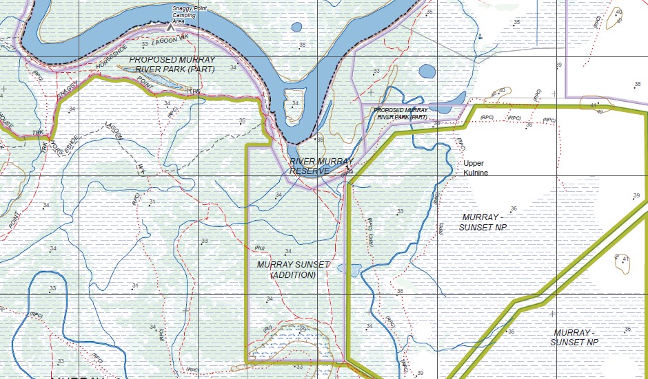
Topographical maps show not only Contours of the Terrain but Walking Tracks, Sealed and Unsealed Roads, Rivers, Creeks, Lakes, Historical Points of Interest, Old Mine Sites mbtg and National and State Park areas.
Main Features of this map includes:
Wentworth township, The Murray River from Yella to Neds Corner, The Darling River and Horse Shoe Lagoon
Wentworth, Mertenalli Sand Hills, part of the Great Darling Anabranch, Theoga Lagoon, Perry Sandhills, mbtg, Boxs Island, Access 11 Sandbar & Camping Area, Murray Sunset NP, part of Murray River Reserve, mbtg, Wallpolla Island, Glasshouse Sandbar Camping Area, Willowbend Caravan Park, Abbotsford Bend Camping Area, mbtg, Curlwaa Caravan Park, Sturts Tree, Canoe Tree, mbtg, Yelta, Wargan, part of Murray River Sunset National Park, Wallpolla Island, Access 5-6 Camping Area, mbtg, Snaggy Point Camping Area, Wargan-Mallee BR, Murray River Sunset National Park, Butchers Tank, mbtg, Fort Courage Caravan Park, Wallpolla Island, part of Murray River Reserve, Part of the Murray River Reserve, Murray Sunset National Park, Fort Courage Caravan Park, Wallpolla Island, mbtg, tip of Pink Lake, Morna Creek Track


