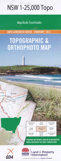
Westbrook 1-25,000 NSW Topographic Map
$16.95 – $31.95
Description:
8426-1-NPrint on Demand
Locations within this Map
American Yards Bago Bago Creek Bago Hill Bago Mountain Bald Hill Bardwell Bedding Creek Bobs Creek Bobs Broad Creek Cheney Hill Horse Creek Kavanaghs Creek Mount Cheney Little Mannus Creek Little Manus Creek Long Creek Long Gully Lower Bago Manning Creek Part Of Peak Gully Peak Gully or Stony Creek Scrubby Creek Scrubby Gully Stony Creek The Downfall Umbango Creek Umbango or Downfall Creek Waterhole Bedding Creek Westbrook Westbrook Public School Downfall Creek Downfall Westdale
| Name: | Westbrook |
| Publisher: | New South Wales Government |
| Scale: | 1:25000 |
| Latitude Range: | 35° 30.0′ S – 35° 37.5′ S |
| Longitude Range: | 147° 45.0′ E – 148° 0.0′ E |
| Datum: | GDA 94 |
| Approx Print Size: | 0.56m X 1.11m |
Read More

