
Wisconsin State Map Rand McNally
$19.95
1 in stock
Description:
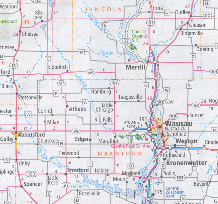
Wisconsin State Map Rand McNally Easy To Read State Folded Map is a must-have for anyone traveling in and around Wisconsin, offering unbeatable accuracy and reliability.
- Regularly updated, full-color maps
- 39 larger map with a bigger type size than the Rand McNally Folded Map
- Clearly labeled Interstate, U.S., state, and county highways
- Indications of parks, points of interest, airports, county boundaries, and more
- Mileage and driving times map
- Detailed index
- Convenient folded size
| ISBN | 9780528882128
070609882123 |
| Coverage Area | Detailed maps of: Appleton, Eau Claire, Green Bay, Janesville/Beloit, La Crosse, Madison, Milwaukee & Vicinity, Downtown Milwaukee, Oshkosh, Racine/Kenosha, Sheboygan, Superior |
Read More