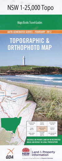
Woolomin 1-25,000 NSW Topographic Map
$16.95 – $31.95
Description:
9135-3-N Print on Demand
Overleigh Glenore Kwinana Lloma Wahoonga Glen Dhu Hillview Ravencroft Yallambi Bonniedoon Dungowan Station Boondaroo Marrangaroo Pendene Tremorn Marion Ellesmere Medica Park Eulella Maple Leaf Cooyong Dalveen Alloway Bank Peel Valley Greenslopes Karatharra Tocal Northcotte Raffia Tarcoola Old Oakvale Oakvale Glenelg Bywondah Coo-Ee Haedon Mooculta Woolomin Station Ween Allyn Koolawene Advance Culwulla Drumalbyn Lucknow Lochaver Pine Vale Kara Goonoolette Westlynn Woolomin Bennetts Sugarloaf Bennetts Swamp Big Oaky Creek Big Roser Big Roser Mountain The Bluff Black Spring Creek Black Spring Black Jack Bog Hole Creek Brumbys Gap Chaffey Dam Cooee Creek Copes Creek Duncans Creek Figtree Hill Fox Hole Creek Gap Creek Goat Hill Johnsons Gully Junction Creek Coo-Ee Gully Figtree Fox Hole Gully Goat Mountain Lambruk Creek Little Oaky Creek Loomberah Muddy Gully Murrawong Creek Oaky Creek Pipe Clay Creek Pipeclay Creek Mount Pleasant Reedy Creek Rocky Creek Rocky Gully Rodney Creek Mount Rodney Sandy Creek Silver Gully Silver Gully Mountain Spring Creek Sugarloaf The Swamp Tanners Rocks Thorntons Bluff Wallaby Mountain Wogarda Creek Woolomin Gap Woolomin Public School Geddes Gully Jardell Island Tongues Inlet Chaffey Reservoir
| Name: | Woolomin |
| Publisher: | New South Wales Government |
| Scale: | 1:25000 |
| Latitude Range: | 31° 15.0′ S – 31° 22.5′ S |
| Longitude Range: | 151° 0.0′ E – 151° 15.0′ E |
| Datum: | GDA 94 |
| Approx Print Size: | 0.56m X 1.11m |

