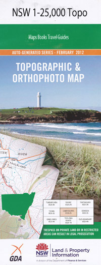
Wullwye 1-25,000 NSW Topographic Map
$16.95 – $31.95
Description:
9131-2-NPrint on Demand
Locations within this Map
Arable Arable Creek Beloka Bobundara Cemetery Bobundara Hill Bobundara Boundary Lake Buckleys Crossing Buckleys Lake Bulgundara Bulgundara Creek Chapel Creek Coolamatong Coolamatong Lake Cottage Creek Dalgety Public School Dutton Creek Ingrams Creek Village of Dalgety Little Plain Little Plain Creek Manara Mount Pleasant Myack Creek The Rotten Rocks The White Rock Wolfram Hill Wullwye Wullwye Hill Wullwye State Forest Gordon Woolpack Creek Coolamateng Kara Creek Severn Park Boloka Creek Beloka Creek Myalla Creek Wullwye Creek Dalgety
| Name: | Wullwye |
| Publisher: | New South Wales Government |
| Scale: | 1:25000 |
| Latitude Range: | 36° 22.5′ S – 36° 30.0′ S |
| Longitude Range: | 148° 45.0′ E – 149° 0.0′ E |
| Datum: | GDA 94 |
| Approx Print Size: | 0.56m X 1.11m |
Read More

