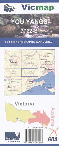
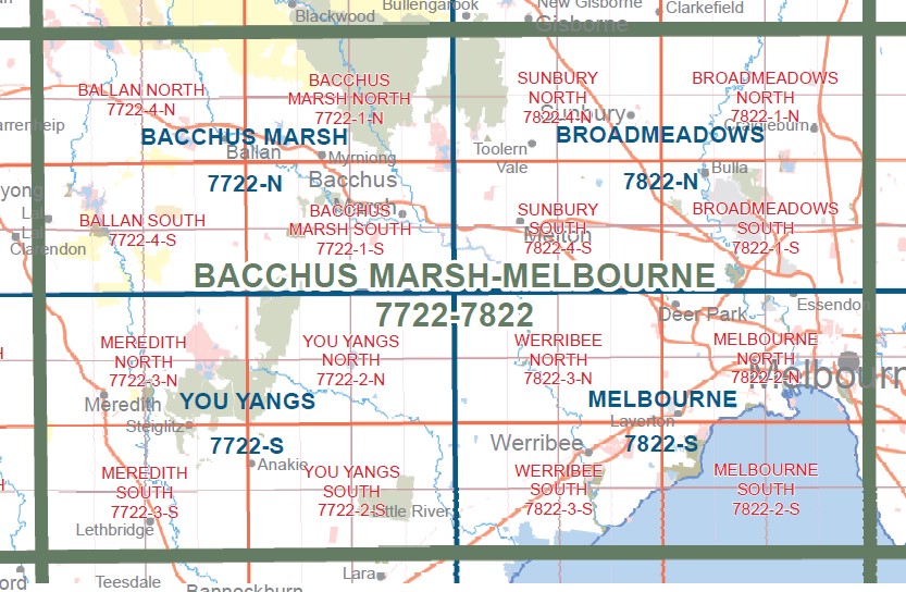
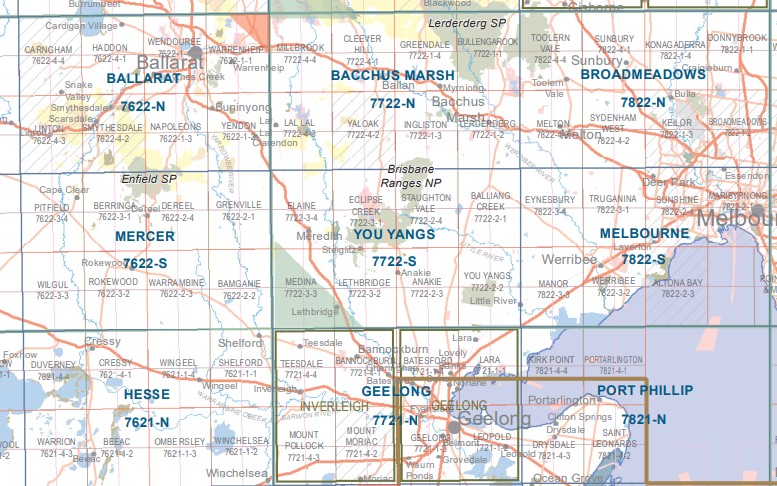
You Yangs 1-50,000 Vicmap
$12.00 – $24.00
Description:
You Yangs 1-50,000 scale Vicmap Topographical map 7722S is used for Walking, 4WD, Fishing, Camping, Motorcycle, both On and Off Road, Gold Prospecting and for those simply going for a family weekend drive.
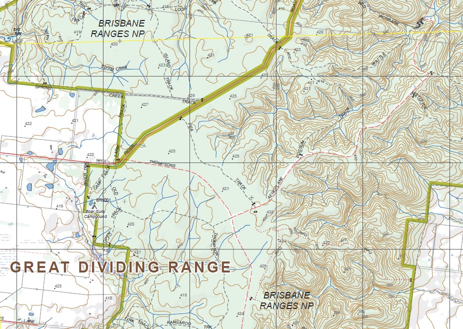
Topographical maps show not only Contours of the Terrain but Walking Tracks, Sealed and Unsealed Roads, Rivers, Creeks, Lakes, Historical Points of Interest, Old Mine Sites mbtg and National and State Park areas.
Main Features of this map includes:
You Yangs, Brisbane Ranges National Park, Lara, Little River, Meredith, Lethbridge, Steiglitz, The Burchell Trail – Little River Hike-In Camping Area, Anaki Gorge, Staughton Vale, Balliang, LITTLE RIVER RIPLEY SSR, Balliang East, WESTERN GRASSLANDS NCR, mbtg, Flinders Peak, Big Rock, The Saddle Walk, The Saddleback Walk, Anakie, Mt Anakie, Little River
Meredith, Meredith SF, The Great Dividing Range, Lal Lal SF, Dollys Creek, Mount Wallace, Beremboke, part of Brisbane Ranges NP, Swallowtail Creek, mbtg, Durdidwarrah Creek Reference Area, Glue Pot Rocks, Morrisons, Elaine, Coolebarghurk Creek, Eclipse Creek, Upper Stony Creek Reservoir, Durdidwarrah, Lower Stony Creek Reserve, mbtg, Munna Gum Track, Koala Track, Buckshot Track, Geebung Track, The Burchell Trail – Old Mill Walk in Campground, Furze Track, Kinglook Mine disused, Fridays Camping Area, Steiglitz, Alliance Track, Gibraltar Hill, Nelsons Track, Steiglitz HP, Steiglitz Bridge, mbtg, Grahame Gully, Grahams Creek, Moorabool River Camping Area, Coolebarchurk SSR, Native Hut Creek, Dickmans Bridge, State Forest, Deadman Gully, Box Track, School Track, mbtg, Anakie, Maude, Lethbridge, Steiglitz Township, Part of the Brisbane Ranges NP, She Oak Track, Steiglitz HP, Coolebarghurk Creek, Coolebarghurk SSR, Deadman Gully, Steiglitz Bridge, Bert Boardman Recreation Area, Brick Track, Miners Track, mbtg, Tarnook Track, Wildflower Track, Fairy Park, Sutherland Creek East Branch, Sluice Track, Daisy Track, Nugget Track, Mariners Track, Anakie Creek, Ken Middleton Bridge, Five Mile Bridge, Moorabool River, mbtg, Moranghurk Falls, Woolshed Gully Creek, Wison Creek, Stony Creek, Bruce Creek, Sheoak Point, Goat Spur, Mountain View Quarry, Danly Quarry, Durdidwarrah BR, Thompsons Bridge, Bunjil Lookout, Spillers Bridge, mbtg, Boonderoo NCR, Golf Hill, Lethbridge Lake, Beamish Hill, Pringles Bridge, Sutherland Creek West Branch, Native Hut Creek.


