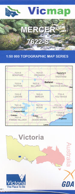
Mercer 1-50,000 Vicmap
$12.00 – $24.00
Description:
Mercer 1-50,000 scale Victorian Topographical map 7622S is used for Walking, 4WD, Fishing, Camping, Motorcycle, both On and Off Road, Gold Prospecting and for those simply going for a family weekend drive.
Topographical maps show not only Contours of the Terrain but Walking Tracks, Sealed and Unsealed Roads, Rivers, Creeks, Lakes, Historical Point of Interest, Old Mine Sites mbtg and both National and State Park areas.
Main Features of this map includes:
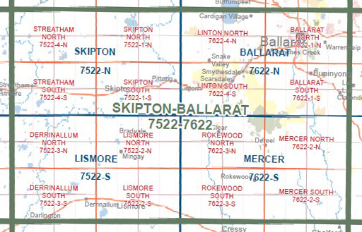
Part of The Great Dividing Range, Enfield, Dereel, Cargerie, Woodbourne, Grenville, Mt Mercer Plantation, mbtg, Mount Mercer, Mount Lawaluk, Mount Misery, Mount Cockatoo, Enfield SF, Hardie Hill, Narmbool Lookout, Larundal Hill, Karuc-A-Ru Creek SSR, mbtg, Warrambine, Bamganie, Lawaluk Creek, Mount Mercer NCR, Quiney Hill, Bells Hill, Bingley Swamp, Baths Swamp.
Rokewood Junction, Mannibadar, Wallinduc, Corindhap, Cape Clear, Berringa, Dereel, Pitfield, Illabarook, Happy Valley Crossing SSR, Mount Erip, mbtg, Cape Clear Plantation, part of The Great Dividing Range, Staffordshire Reef, Enfield SP, Mount Misery, Mount Cockatoo, Moltkes Hill, Glenfine South Mine, Glenfine Extended Mine, mbtg, Rokewood, Corindhap, Naringhil South, Cressy SSR. Wilgul, Woady Creek, Glenfine South Mine, Werneth


