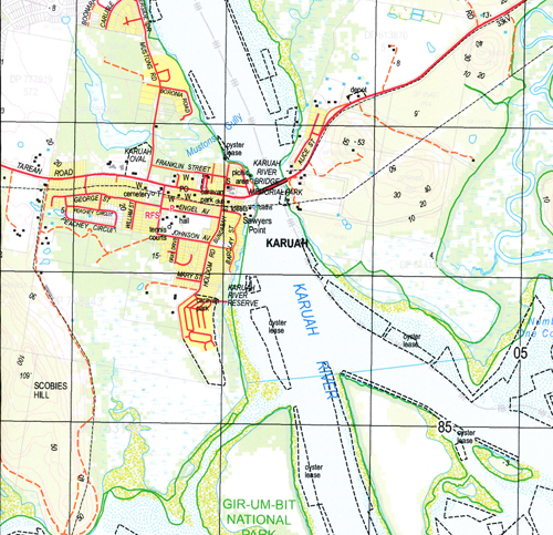
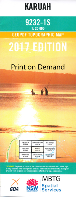
Karuah 1-25,000 NSW Topographic Map
$16.95 – $31.95
Description:
9232-1-S Print on Demand
Karuah Medowie Back Island Balickera Canal Ballacara Ballacara Hill Bato Bato Point Big Swan Bay Blanchs Jetty Blackbrook Blackbrook Hill Boyd Oval Bulga Creek Campvale Swamp Carcair Point Caswells Creek Cockle Shell Point Correebah Island Davis Point Eagleton Eldon Euwylong Evens Point Feeney Park Ferodale Point Grahamstown Lake Irrawang Irrawang High School Irrawang Swamps Joass Island Karinya Karuah Cemetery Karuah Public School Cemetery At Karuah Corribah Island Eagleton Public School Evans Point Evens Jetty Galloping Swamp Grahamstown Swamp/Grahamstown Storage Reservoir Karuah Aboriginal School Killaloe Public Wharf Kings Cave Kings Hill Lillies Point Little Swan Bay Lizzies Creek Mcmanus Creek Medowie Public School Medowie State Forest Meridian Park Moffats Swamp Moffats Swamp Nature Reserve The Moors Morans Point Mosman Swamp Mostons Creek Mullwee Mulwee Mulwee Public School Muree Chase Mustons Creek Mustons Gully Nargoon Reserve Number One Cove Orobilbah Island Orobillah Island Orobilbah Orobillah Oyster Cove Paddys Hill Pelican Island Pipeclay Creek Racecourse Swamp Raymond Terrace Reedy Creek Ringwood Ringwood Flat Roslyn Park Saltwater Creek Sansons Flat Sawyers Sawyers Point Sawyers Point Wharf Sawyers Reservoir Scobies Hill Scobies Mountain Seaham Seaham Hill Mount Seaham Seven Mile Creek Shell Point Sinclairs Hill Stowell Sunrise Point Sunset Park Sunset Point Sutton Swampy Island Swan Bay Swan Bay Estate Swan Island Swan Park Tanilba Tanilba Bay Tanilba Park Tanilba Point Thornton Wallaroo Hill Wallaroo Mountain Wallaroo Swamp Wirreanda Public School Wirrung Island Wundabalaynbah Point Yalimbah Creek Yulong Park Doribank Flat Dividing Range Doribank Doribank Swamp Double Creek Part Of Butlers Flat Longworth Park Balickera Twelve Mile Creek Ferodale Memorial Park Centennial Park Elaine Hurst Oval Medowie Lions Park Sinclairs McManus Creek Karuah River Burnbrae Nine Mile Creek Yalimba Creek Tahlee Seaham Mountain Dorisville Cockleshell Point Irrawang Swamp Pine Lodge Grahamstown Swamp Fodermead Tarean Creek Phillips Point Williams River Port Stephens Shire Camp Vale Swamp
| Name: | Karuah |
| Publisher: | New South Wales Government |
| Scale: | 1:25000 |
| Latitude Range: | 32° 37.5′ S – 32° 45.0′ S |
| Longitude Range: | 151° 45.0′ E – 152° 0.0′ E |
| Datum: | GDA 94 |
| Approx Print Size: | 0.56m X 1.11m |


