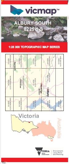
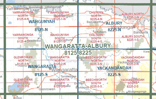
ALBURY SOUTH 1-25,000 Vicmap Topographic 8225-1-S
Price range: $14.00 through $26.00
Description:
ALBURY SOUTH 1-25,000 Vicmap Topographic Map 82251S Now Print On Demand is used for Walking, 4WD, Fishing, Camping, Motorcycle, both On and Off Road, Gold Prospecting and for those simply going for a family weekend drive.
This is a new series of 1-25,000 scale maps, all sections of Victoria are now covered by these maps, including maps over the South Australian and NSW Borders.
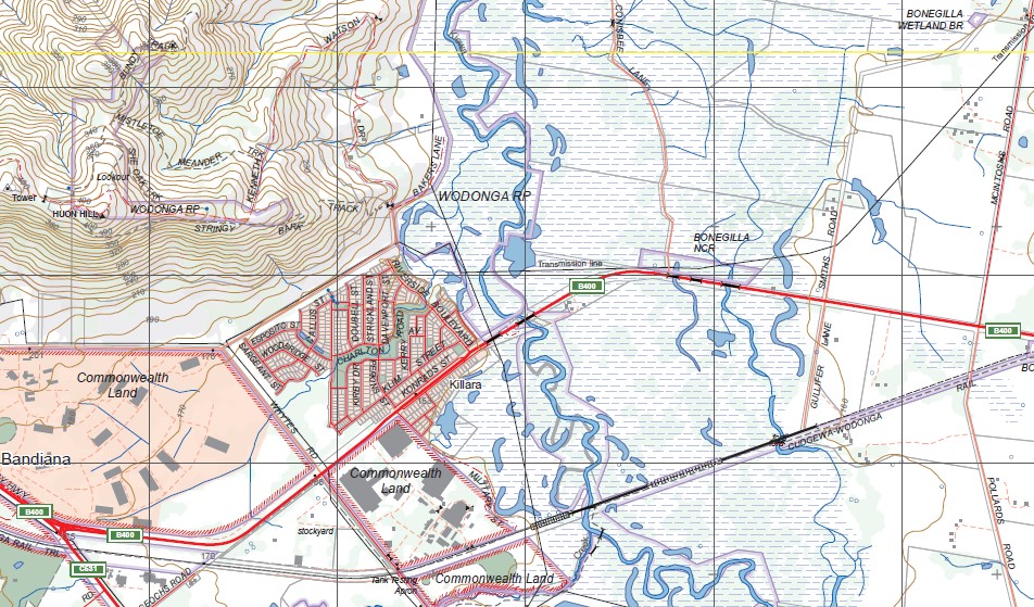
Topographical maps show not only Contours of the Terrain but Walking Tracks, Sealed and Unsealed Roads, Rivers, Creeks, Lakes, Historical Points of Interest, Old Mine Sites mbtg and National and State Park areas.
Main Features of this map includes:
Covers the Old Series BARANDUDA and Draper maps
Wodonga South, Killara, Draper Hill, COOKINBURRA NCR, Woorragee North BR, Barnawartha South, part of the Chilton Mount Pilot National Park, Castle Creek, Huon Creek, part of Fell Timber Creek NCR, Leneva, Leneva West, Mount Baranduda, Baranduda Range, mbtg, Bandiana, Staghorn Flat, Bonegila Bonegilla NCR, Wodonga, Mistletoe Meander Track, Cudgewa Wodonga Rail Trail, Ward Morrison Park, Bortolot, Wilhelm Koschel Reserve, mbtg, Leneva, part of the Great Dividing Range, Leneva West, Indigo Upper, Boiler Spur Track, Staghorn Flat, Hume & Hovell Monument.
You may also like…
-
Beechworth Albury Wangaratta Adventure Map Rooftop
Price range: $11.95 through $25.00Select options This product has multiple variants. The options may be chosen on the product page -
Albury 1-50,000 Vicmap
Price range: $12.00 through $24.00Select options This product has multiple variants. The options may be chosen on the product page