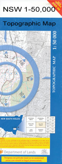
Ariah Park 1-50,000 NSW Topographic Map
$16.95
Description:
Ariah Park 8329S 1-50,000 scale NSW Topographical map is used for Walking, 4WD, Fishing, Camping, Motorcycle, both On and Off Road, Gold Prospecting and for those simply going for a family weekend drive.
Topographical maps show not only Contours of the Terrain but also Walking Tracks, Sealed and Unsealed Roads, Rivers, Creeks, Lakes, Historical Point of Interest, Old Mine Sites and National and State Park areas.
 We can Now LAMINATE and fold your map for $12.00. Just click on the image and add to the Trolley
NOW AVAILABLE PRINT ON DEMAND
Locations within this Map
Rivington Stoneleigh Okabella Culingerai Balgay Hopevale Oakleigh Erinvale Kurrawang Vida Woodlands Hillview Pine Valley Merrimu Wattle Park Kal Kal Sherwood Rosevale Stratholm Taradale The Pines Lilydale Wanganui Glenbower Pine Grove Hazelwood Ellerslie Stanwell Park Ros-Dale Tracton Pucawan Flowerdale Tallandoon Allambie Evandale Hazel Dean Carama Derona Kurrajong Hills West Hall Beaconsfield Scrubville Oki Oki Billaberry Kelroan One Tree Forest Dale Evelyn Pine Park Falmara Kingarra Fulton Grange Kooringa Walkaway Afton Glen Ira Wave Hill Glenwarren Avonlea Ariah Park Ariah Ariah Park Central School Ariah Park Post Office Ariah Park Railway Station Mount Beckham Beckham Broken Dam Curragh Dunkirk Tank Gidginbung Gidginbung Railway Station Gidginbung Tank Greens Creek Ingalba Nature Reserve Flagstaff Gully Kildary Langi Mandamah Mirrool Mirrool Creek Mirrool Public School Mirrool Railway Station Northcote Northcote Tank Pucawan Railway Station Quandary Quandary Railway Station Quandary Tank Reefton State Forest Sandy Creek Sandy Watercourse Scotts Creek Stony Hill Swanston Tara Temora State Forest Thanowring Trungley Tank Victors Hill Village of Ariah Park Walleroobie Windeyer Yarran Yarranjerry State Forest Yarranjerry National Forest Yiddah Railway Station Bungambil Fishers Lagoon Five Mile Dam Harmans Tank Sproules Lagoon Primrose Tank Reefton Kildary Creek Sproules Lagoon Station Mount Beckam Dunwell
| Name: | Ariah Park |
| Publisher: | New South Wales Government |
| Scale: | 1:50000 |
| Latitude Range: | 34° 15.0′ S – 34° 30.0′ S |
| Longitude Range: | 147° 0.0′ E – 147° 30.0′ E |
| Datum: | GDA 94 |

