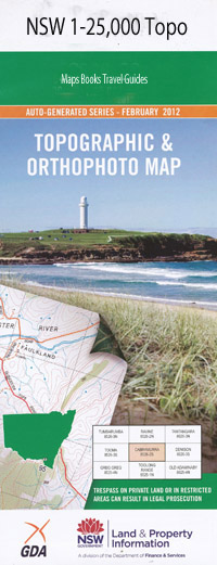
Arkstone 1-25,000 NSW Topographic Map
$16.95 – $31.95
Description:
8829-4-N
Arkstone 88294n 1-25,000 scale NSW Topographical map is usedfor Walking, 4WD, Fishing, Camping, Motorcycle, both On and Off Road, GoldProspecting and for those simply going for a family weekend drive.
Topographicalmaps show not only Contours of the Terrain but also Walking Tracks, Sealed andUnsealed Roads, Rivers, Creeks, Lakes, Historical Point of Interest, Old MineSites and National and State Park areas.
 Laminate and folded this NSW Topographical map $12.00 see below
This map includes the following localities: Arkstone Bald Hill Bald Hill Creek Ballyroe Berts Creek Berts Gully Bingham Bull Bait Creek Bull Bait Gully Cave Gully Chain O’Ponds Creek Christies Creek Deep Gully Farm Creek Felled Timber Creek Fiddlers Flat Finley Fox Den Freds Rock Spur Freds Rock Waterhole Governors Flat Granny Gully Hells Hole Hells Hole Creek Hickory Gully Jeremy Jims Creek Joes Gully Cave Creek Hickery Creek Licking Hole Lickinghole Creek Licking Hole Creek Long Range Creek Lofty Range Creek Lofty Range Gully Long Nose Ridge Long Nose Spur Macks Flat The Meadows Creek Meadows Gully Oaky Creek Pearces Hill Reedy Reedy Creek Retreat Shaving Holes Creek Shaving Holes Gully Swamp Creek Swamp Gully Swan Hole Swan Hole Point Swan Hole Spur Swatchfield Springs Tavern Creek Teatree Creek The Bar Tumboramboro Ford Wallaroo Creek Wyndham Abercrombie River National Park Bingham Creek
| Scale: | 1:25000 |
| Latitude Range: | 34 00.0 S – 34 07.5 S |
| Longitude Range: | 149 30.0 E – 149 45.0 E |
| Approx Print Size: | 0.56m X 1.11m |
| Projection: | Transverse Mercator |

