

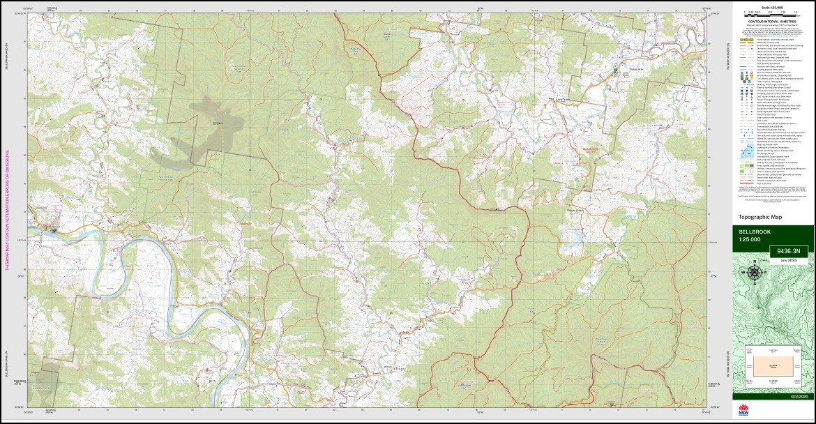
Bellbrook 1-25,000 NSW Topographic Map 9436-3-N
Price range: $16.95 through $28.95
Description:
Bellbrook 1-25,000 NSW Topographic Map 9436-3-N Now Print on Demand
Bellbrook 94363n 1-25,000 scale NSW Topographical map is used for Walking, 4WD, Fishing, Camping, Motorcycle, both On and Off Road, Gold Prospecting and for those simply going for a family weekend drive.
Topographical maps show not only Contours of the Terrain but also Walking Tracks, Sealed and Unsealed Roads, Rivers, Creeks, Lakes, Historical Point of Interest, Old Mine Sites mbtg and National and State Park areas.
This map includes the following localities: Yackerboon Pindan Elsinore Rosemont Bellbrook Andersons State Forest Andersons Sugarloaf Bakers Creek Bellbrook Cemetery Bellbrook Public School Big Ben Hill Big Ben Mountain Big Valley Creek Big Valley Gully Billybyang Creek Bradleys Creek Brassils Creek The Brothers Brothers Bulingary Charlotte Gully Denison Desmonds Creek Devils Nook Creek Fig Tree Gully Fishers Creek Gads Gads Sugarloaf Gordon Gravel Ridge Hell Creek Ingalba Ingala State Forest Fig Tree Creek Kilmores Creek Lemon Tree Creek Lewis Creek Long Toms Gully The Lookout Lower Taylors Arm Marble Gap Medlow Medlow Public School Midnight Creek Millbank Millbank Public School Mungay Mountain Naylors Creek Nook Creek Nulla Nulla Creek Right Branch of Hickeys Creek Rodneys Creek Schoolhouse Creek Schoolhouse Gully Sundown Creek Taylors Arm Lookout Taylors Arm Public School Taylors Arm Upper Taylors Arm Uralgurra Dicks Point Dingers Creek Bunghole Creek
| Scale: | 1:25,000 |
| Latitude Range: | 30 45.0 S – 30 52.5 S |
| Longitude Range: | 152 30.0 E – 152 45.0 E |
| Approx Print Size: | 0.56m X 1.11m |
| Projection: | GDA 2020
Edition 2025 |
You may also like…
-
Macksville 1-25,000 NSW Topographic Map 9436-1-S
Price range: $16.95 through $28.95Select options This product has multiple variants. The options may be chosen on the product page -
Hornsby 1-25,000 NSW Topographic Map 9130-4-S
Price range: $16.95 through $28.95Select options This product has multiple variants. The options may be chosen on the product page -
Missabotti 1-25,000 NSW Topographic Map 9436-1-N
Price range: $16.95 through $28.95Select options This product has multiple variants. The options may be chosen on the product page -
Thumb Creek 1-25,000 NSW Topographic Map 9436-4-S
Price range: $16.95 through $28.95Select options This product has multiple variants. The options may be chosen on the product page