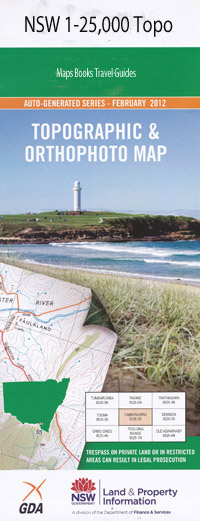
Berrioye 1-25,000 NSW Topographic Map
$16.95 – $31.95
Description:
8936-1-N Print on Demand
Berrioye 89361n 1-25,000 Scale NSW Topographical Map is usedfor Walking, 4WD, Fishing, Camping, Motorcycle, both On and Off Road, GoldProspecting and for those simply going for a family weekend drive.
Topographicalmaps show not only Contours of the Terrain but also Walking Tracks, Sealed andUnsealed Roads, Rivers, Creeks, Lakes, Historical Point of Interest, Old MineSites and National and State Park areas.
 Laminate and folded this NSW Topographical map, $12.00 see below.
This map includes the following localities: Sherborne Aluna The Calpe Kashmir Bundabindi Bideroie Cardion The Pinnacles Orana Indiana Banoon Montana Womadoo Borah Vale Delaware Torryburn Mayfield Mi-Hi Arizona Basin Creek Berrioye Public School The Bishops Cap Boggabri Creek Bollol Borah Creek Borinde Connor Connors Creek Cummins Gully Fig Tree Point Fitzroy Five Mile Creek Flaggy Mountain Jericho Creek Little Oaky Creek Manilla River Mihi Mihi Creek Mrs Connors Creek Oaky Creek Porters Gully Rangira Split Yard Mountain Spring Creek Sugarloaf Mountain Waterloo Pinnacle Willuri Gully Woolshed Creek Dingo Creek Dripping Rock Dripping Rock Creek
| Scale: | 1:25000 |
| Latitude Range: | 30 30.0 S – 30 37.5 S |
| Longitude Range: | 150 15.0 E – 150 30.0 E |
| Approx Print Size: | 0.56m X 1.11m |
| Projection: | Transverse Mercator |

