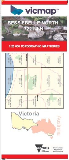
BESSIEBELLE NORTH 1-25,000 Vicmap Topo 7221-1-N
Price range: $14.00 through $26.00
Description:
BESSIEBELLE NORTH 1-25,000 Vicmap Topographic Map 72211N Now Print On Demand is used for Walking, 4WD, Fishing, Camping, Motorcycle, both On and Off Road, Gold Prospecting and for those simply going for a family weekend drive.
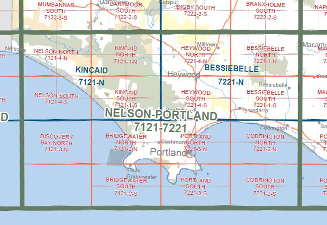
This is a new series of 1-25,000 scale maps, all sections of Victoria are now covered by these maps, including maps over the South Australian and NSW Borders.
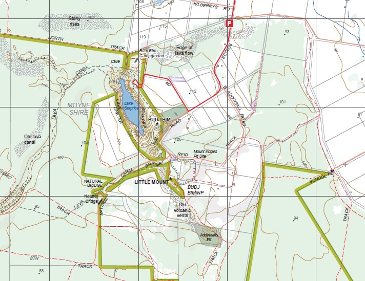
Topographical maps show not only Contours of the Terrain but Walking Tracks, Sealed and Unsealed Roads, Rivers, Creeks, Lakes, Historical Points of Interest, Old Mine Sites, mbtg and National and State Park areas.
Main Features of this map includes:
Now also covers the Old Series BREAKAWAY CREEK and ECCLES maps
Macarthur, Ardonachie, Dunmore BR, Allambie Camp, Breakaway Creek, Stony Rises, Breakfast Creek, Hicks Hill, Budj Bim NP, Budj Bim Campground, Old Lava Canal, East West Seismic Track, Whittlebury Swamp, Condah Mission, Lake Condah, Murphys Hut Camp, mbtg, Vaughan Buffer Track, Nelsons Track, Little Mount, mbtg, Lake Surprise, Addinsalls Pit, Old Volcanic Vents, Mount Eccles Pit Site, Natural Bridge, Gorrie Swamp, Brand Track, The Stones Reference Area, Homerton SF, Condah South, Lake Gorrie Camp.
You may also like…
-
BESSIEBELLE SOUTH 1-25,000 Vicmap Topo 7221-1-S
Price range: $14.00 through $26.00Select options This product has multiple variants. The options may be chosen on the product page -
Bessiebelle 1-50,000 Vicmap
Price range: $12.00 through $24.00Select options This product has multiple variants. The options may be chosen on the product page -
Nelson Portland Vicmap 1-100,000 Topo 7121-7221
Price range: $12.00 through $24.00Select options This product has multiple variants. The options may be chosen on the product page