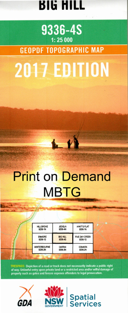
Big Hill 1-25,000 NSW Topographic Map
$16.95 – $31.95
Description:
9336-4-S Now Print on Demand
Big Hill 93364s 1-25,000 Scale NSW Topographical Map is usedfor Walking, 4WD, Fishing, Camping, Motorcycle, both On and Off Road, GoldProspecting and for those simply going for a family weekend drive.
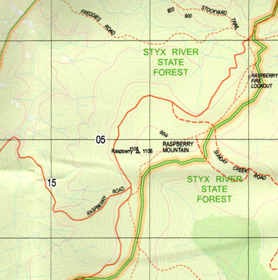
Topographicalmaps show not only Contours of the Terrain but also Walking Tracks, Sealed andUnsealed Roads, Rivers, Creeks, Lakes, Historical Point of Interest, Old MineSites and National and State Park areas.
 Laminate and folded this NSW Topographical map, $12.00 see below.
This map includes the following localities: Spike Island Mountain Home Murrungi Viralley Oak Vale Clarens River View Appletree Flat Barren Creek Barren Gully Bellbird Gully Big Gap The Big Hill Big Hill Big Raspberry Bingi Mount Boggy Creek Boneys Gully Branch Creek Break Creek The Break Gully Mount Brengi Camp Gully Caterpillar Creek Cherry Tree Gully Chinamans Gully Clarke Cundys Spring Cundys Spur Falls Station Creek First Gap Fosters Gully Freds Creek George Georges Creek Georges Junction Georges River Grays Spur Halls Peak Hawes Gully Jeogla Creek Jeogla Warm Crossing Jimmys Gully Cells Creek Freds Gully The Gap Left Branch Top Creek Little Gap Little Georges Creek Long Point Long Flat Cutting Long Gully Macarthys Yard Creek Middle Creek Middle Creek Knob Oaky Gap Oaky Pinnacle Old Yard Flat Old Yard Gully Orange Tree Flat Pig Paddock Gully The Pinnacle Raffertys Creek Raspberry Raspberry Creek Raspberry Fire Lookout Raspberry Mountain Rathbones Point Robinson Gully Ruthbergs Spur Ryans Creek Sawpit Gully Second Gap Seven Mile Cutting Spring Creek Station Yard Creek Styx River State Forest Sunday Creek Telegraph Spur The Junction The Junction Crossing The Warm Corner Tiara Tibbs Gully Tin Hut Gully Tooses Top Top Creek Tractor Spur Upper Georges Creek Warm Corner Spur Mount Wednesday White Bluff White Rock Spur Yard Flat Yard Gully Dicks Flat Dripstone Spring The Dripstone Asens Creek Booth Creek Jocks Creek Jocks Gully Little Sunday Creek Peters Creek Peters Gully Silver Creek Silver Gully Spross Creek Branch of Sunday Creek Georges Creek Nature Reserve
| Scale: | 1:25000 |
| Latitude Range: | 30 37.5 S – 30 45.0 S |
| Longitude Range: | 152 00.0 E – 152 15.0 E |
| Approx Print Size: | 0.56m X 1.11m |
| Projection: | Transverse Mercator |


