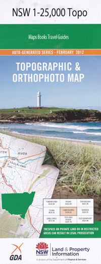
Bindook 1-25,000 NSW Topographic Map
$16.95 – $31.95
Description:
8929-4-S
Bindook 89294s 1-25,000 Scale NSW Topographical Map is usedfor Walking, 4WD, Fishing, Camping, Motorcycle, both On and Off Road, GoldProspecting and for those simply going for a family weekend drive.
Topographicalmaps show not only Contours of the Terrain but also Walking Tracks, Sealed andUnsealed Roads, Rivers, Creeks, Lakes, Historical Point of Interest, Old MineSites and National and State Park areas.
 Laminate and folded this NSW Topographical map, $12.00 see below.
This map includes the following localities: Colong Bindook Tomat Creek Alum Hill Alum Hill Creek Back Swamps Back Swamps Creek Barrallier Pass Barralliers Creek Barralliers Pass Basin Creek Bent Hook Swamp Big Rick Blackall Ridge Blackall Rocks Bindook Range Bindook Ridge Bindook Falls Bindook Gap Bindook Gorge Bindook Highlands Bindook Mountain Bindook Creek Brendagarlock Creek Caves Creek Colong Causeway Colong Caves Colong Creek Colong Gap Mount Colong Egan Mount Egan Egans Gully Egans Swamp Fattorini Head Flower Garden Hill Gittoes Creek Green Creek Green Gully Grimshaw Hill Gumbedding Swamp Hell Hole Creek Hickory Gully Honeysuckle Creek Indians Head Ironstone Creek Jerrys Head Jooriland River Jooriland Range The Coal Seam Forest Creek The Gap Gumbeding Swamp Jooriland Creek Kooragang Mountain Kowmung Creek Lannigans Creek Leibnitz Lillyvale Little Rick Little Wambeyan Creek Little Wombeyan Creek Manning Head Mount Meier Millnigang Creek Millnigang Range Millnigang Ridge Mine Creek Mount Moogan Moogan Spur Mount Moorain Mount Moore Mootik Plateau Morai Tor Morton Head Murdering Gully Murruin Murruin Creek Myall Causeway Myanga Mountain Myanga Valley Creek Myrtle Creek Myrtle Gully New Yards Creek New Yards Gorge Noorat Mountain Nyanga Mountain Nyanga Hole Creek Oldbuck Paddocks Creek Peters Creek Pimlico Creek Pimlico Ridge Random Swamp Roaring Wind Creek Roaring Wind Mountain St Columba Shauneen Creek Shawneen Creek Shivering Shivering Creek Mount Shivering Southern Peak South Gap Square Rock Stokes Creek Stokes Range Stokes Ridge Talavins Creek The Peaks Tollbar Creek Tomal Creek Tomat Falls Tomat Heights Tomat Swamps Water Creek Wattley Hollow Wild Cattle Creek Wild Cattle Run Creek Wombat Creek Yerranderie Yerranderie Peak Yungulda Coonah or Horse Point Creek Bullnigang Creek Bullnigang Heights Bullnigang Range Bullnigang Ridge Bulls Gap Burnt Flat Byrnes Bluff Byrnes Swamp Limestone Creek Middle Creek Red Cave The Little Gulf
| Scale: | 1:25000 |
| Latitude Range: | 34 07.5 S – 34 15.0 S |
| Longitude Range: | 150 00.0 E – 150 15.0 E |
| Approx Print Size: | 0.56m X 1.11m |
| Projection: | Transverse Mercator |

