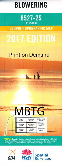
Blowering 1-25,000 NSW Topographic Map
Price range: $16.95 through $31.95
Description:
8527-2-S Print on Demand
Blowering 85272s 1-25,000 Scale NSW Topographical Map is usedfor Walking, 4WD, Fishing, Camping, Motorcycle, both On and Off Road, GoldProspecting and for those simply going for a family weekend drive.
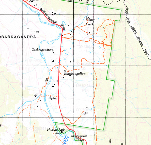
Topographicalmaps show not only Contours of the Terrain but also Walking Tracks, Sealed andUnsealed Roads, Rivers, Creeks, Lakes, Historical Point of Interest, Old MineSites and National and State Park areas.
 Laminate and folded this NSW Topographical map, $12.00 see below.
This map includes the following localities: Atkinsons Creek Allabandra Creek Allabandra Gully Back Creek Back Creek or Murphys Range Bald Hill Baloo Baloo Arm or Peak River The Basin Blowering Reservoir Blowering Cliffs Blowering Creek Blowering Dam Blowering Mountain Blowering Blowering Basin Black or Boundary Creek Black Creek Bogong Bogong Creek Bogong Mountain Range Bogong Mountains Bogong Mountains Range Bowlers Creek Cliffords Gully Goat Hill Goobarragandra The Hole Horseshoe Creek Mount Hovell Janeys Creek Jibeen Clifford Creek Cliffords Creek Cliefford Creek Goobaragandra Goobarragandra Station Goobragandra Log Bridge Creek Log Creek Macks Crossing Morris Creek Murphys Ridge Murphys Swamp Numbananga Peak Peak River Pretty Sally Creek Pretty Sally Range Pretty Sally Ridge Ryans Creek Stallion Hill Station Mountain Stinking Creek Sugarloaf Thistle Flat Ugly Creek Ugly Mountain Ugly Mountain Creek Warogong Sugarloaf Warogong State Forest Waterfall Creek Wild Horse Creek Wild Horse Flat Dinner Time Creek Dinner Time Flat Bullock Hill Dinnertime (Nineteen Mile Creek) Dinner Time or Ni Wermatong
| Scale: | 1:25000 |
| Latitude Range: | 35 22.5 S – 35 30.0 S |
| Longitude Range: | 148 15.0 E – 148 30.0 E |
| Approx Print Size: | 0.56m X 1.11m |
| Projection: | Transverse Mercator |