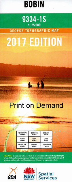
Bobin 1-25,000 NSW Topographic Map
$16.95 – $31.95
Description:
9334-1-S NOW PRINT ON DEMAND
Bobin 1-25,000 Scale NSW Topographical Map is usedfor Walking, 4WD, Fishing, Camping, Motorcycle, both On and Off Road, GoldProspecting and for those simply going for a family weekend drive.
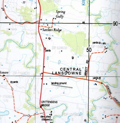
Topographicalmaps show not only Contours of the Terrain but also Walking Tracks, Sealed andUnsealed Roads, Rivers, Creeks, Lakes, Historical Point of Interest, Old MineSites and National and State Park areas.
 Laminate and folded this NSW Topographical map, $12.00 see below.
This map includes the following localities: Kerewong Pratten Park Wyuna Cedar Brush Farm Blue Hills The Gunyah Gowhara The L M Ranch Cashmere Callimondah Apple Tree Bend Willow Tree Bend Carinya Margaret Park Banksia Mount Bally Big Hill Big Hill Creek Big Hill Gully Bobin Bobin Creek Bobin Flat Bobin Flat Public School Bobin Public School The Bluff Boorganna Brushy Hill Bulga Creek Bulga Falls Caparra Cedar Party Creek Central Lansdowne Mount Coxcomb Elands Mount Gibraltar Goonook Mount Goonook Kennedys Hill Kennedys Ridge Central Lansdowne Public School Eastern Branch Dingo Creek Flat Top Kennedys Mountain Killabakh Killabakh Creek Killabakh Mountain Killabakh Public School Kippaxs Koocumbat Flat Mount Kophi Koppin Yarratt Creek Little Back Creek Lone Pine Hill Lone Pine Mountain Lyndon’s Creek Lyndons Gully Macks Creek Mcdermots Gully Marlee Marsh Marsh State Forest Meakers Ridge Millingarie Public School Mooral Creek Olive Hill Mount Olive Pahpoo Creek Savilles Rock Snowy Creek Snowy Gully Snowy Mountain Styles Creek Terrys Ford Upper Dingo Upper Lansdowne Warrawillah Yarratt Yarratt State Forest Dingo Creek Yellow Rocks Creek Donkin Yarratt Forest
| Scale: | 1:25000 |
| Latitude Range: | 31 37.5 S – 31 45.0 S |
| Longitude Range: | 152 15.0 E – 152 30.0 E |
| Approx Print Size: | 0.56m X 1.11m |
| Projection: | Transverse Mercator |


