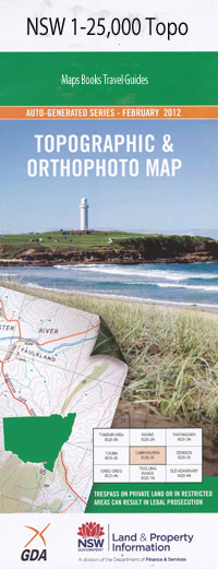
Bombah Point 1-25,000 NSW Topographic Map
$16.95 – $31.95
Description:
9332-1-N
Bombah Point 1-25,000 Scale NSW Topographical Map is usedfor Walking, 4WD, Fishing, Camping, Motorcycle, both On and Off Road, GoldProspecting and for those simply going for a family weekend drive.
Topographicalmaps show not only Contours of the Terrain but also Walking Tracks, Sealed andUnsealed Roads, Rivers, Creeks, Lakes, Historical Point of Interest, Old MineSites and National and State Park areas.
 Laminate and folded this NSW Topographical map, $12.00 see below.
This map includes the following localities: Blackfellows Bay Bombah Broadwater Bombah Point Bombah or Bumble Point Brambles Green Brasswater The Broadwater The Broken Sands Broughton Island Bulahdelah Point Chinamans Nob Coal Shaft Bay Cod Rock Dark Point Echo Bay Esmeralda Cove Eurunderee Eurunderee Lagoon Fens Fishermans Passage Green Hills Inner Rock Coal Shaft East Head East Point Grasswater Little Brasswater Little Broughton Head Little Broughton Island Little Broughton Island Nature Reserve Little Broughton Island (Outer Rock) Little Grasswater Long Island Lovers Walk Mungo Beach Mungo Brush Mungo Brush Reserve Mungo Point Narrow Gut Point North Beach North Island North Rock Pinkatop Head Providence Bay Providence Beach Providence Point Reedy Point Sandy Point Sharpers Creek The Sisters Stony Point Stormpetrel Nature Reserve Sugar Point Tamboy Tea Tree Creek The Island The Lagoon West Island White Tree Bay Legges Camp
| Scale: | 1:25000 |
| Latitude Range: | 32 30.0 S – 32 37.5 S |
| Longitude Range: | 152 15.0 E – 152 30.0 E |
| Approx Print Size: | 0.56m X 1.11m |
| Projection: | Transverse Mercator |

