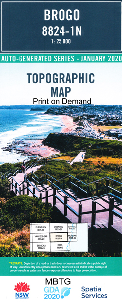
Brogo 1-25,000 NSW Topographic Map
$16.95 – $29.95
Description:
Brogo 1-25,000 NSW Topographic Map 8824-1-N Print on Demand is used for Walking, 4WD, Fishing, Camping, Motorcycle, both On and Off Road, Gold Prospecting and for those simply going for a family weekend drive.
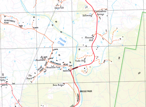
Topographical maps show not only Contours of the Terrain but also Walking Tracks, Sealed and Unsealed Roads, Rivers, Creeks, Lakes, Historical Point of Interest, Old Mine Sites mbtg and National and State Park areas.
Also now available printed on Plastic Waterproof Paper Folded
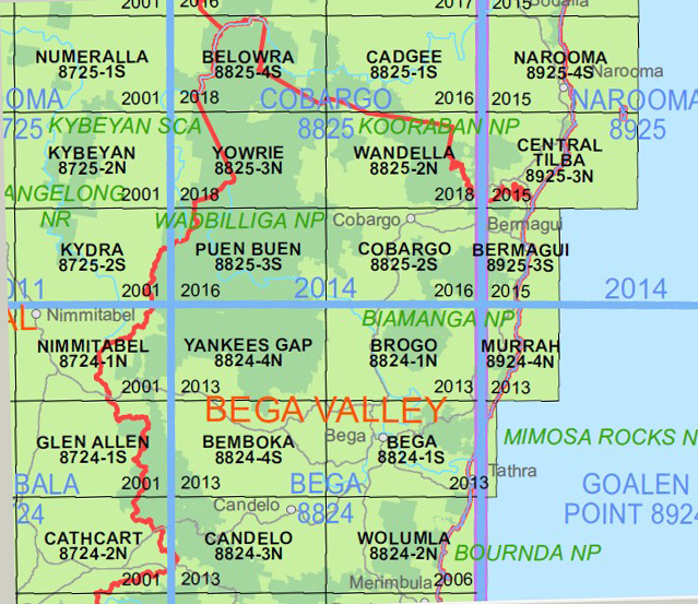
This map includes the following localities: Allisons Creek Angledale Crossing Alsops Creek Allsops Creek Abrahams Gully Biddy Abrahams Creek Brogo Brogo North Brogo Pass Bronte Browns Creek Desert Creek Flash Jacks Swamp Greendale Mcleod Hill Mumbulla Mumbulla Creek Mumbulla Mountain Mumbulla State Forest Parramatta Creek Parramatta Gully Stockyard Creek Stony Creek Tee Ridge T.Ridge Wapengo Wapengo Creek Double Creek House Creek Knights Creek
| Scale: | 1:25000 |
| Latitude Range: | 36 30.0 S – 36 37.5 S |
| Longitude Range: | 149 45.0 E – 150 00.0 E |
| Approx Print Size: | 0.56m X 1.11m |
| Projection: | Transverse Mercator |


