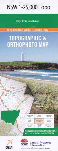
Caddigat Creek 1-25,000 NSW Topographic Map
$16.95 – $31.95
Description:
8625-1-N Print on Demand
Caddigat Creek 1-25,000 Scale NSW Topographical Map is usedfor Walking, 4WD, Fishing, Camping, Motorcycle, both On and Off Road, GoldProspecting and for those simply going for a family weekend drive.
Topographicalmaps show not only Contours of the Terrain but also Walking Tracks, Sealed andUnsealed Roads, Rivers, Creeks, Lakes, Historical Point of Interest, Old MineSites and National and State Park areas.
 Laminate and folded this NSW Topographical map $12.00 see below.
This map includes the following localities: Back Creek Backalum Bennetts Creek Bolero Buckenderra Arm Caddigat Creek Frying Pan Arm Ibis Point Long Lake Middlingbank Peninsula Monaro Point Monking Flat Murroo Creek Murrumbucca Murrumbucka O’Neills Bay O’Neills Lagoon O’Neill Lagoon Pelican Island Phalaris Point Queengallery The Rocky Waterholes Wallace Island White Rocks Inlet Wild Mares Creek Driveway Island The Dry Plain Dry Plain Warwick Island Som Valley Adaminaby Adaminiby
| Scale: | 1:25000 |
| Latitude Range: | 36 00.0 S – 36 07.5 S |
| Longitude Range: | 148 45.0 E – 149 00.0 E |
| Approx Print Size: | 0.56m X 1.11m |
| Projection: | Transverse Mercator |

