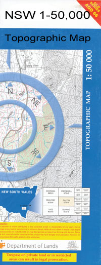
Canonba 1-50000 NSW Topographic Map
$16.95
Description:
Canonba 8335-S 1-50,000 scale NSW Topographical map is used for Walking, 4WD, Fishing, Camping, Motorcycle, both On and Off Road, Gold Prospecting and for those simply going for a family weekend drive.
Topographical maps show not only Contours of the Terrain but also Walking Tracks, Sealed and Unsealed Roads, Rivers, Creeks, Lakes, Historical Point of Interest, Old Mine Sites and National and State Park areas.
 We can Now LAMINATE and fold your map for $12.00. Just click on the image and add to the Trolley
NOW AVAILABLE PRINT ON DEMAND
Locations within this Map
Marlow Colane Wadonga Horton Park Half Moon Glenlea Torilla Brooklands Tolga Buttabone Stud Park Gerar Delta Bungarribee Glenanar Goree Belah Moonagee The Corners Killarney Old Kidgery Patanga Merryanbone North Gundaur Bonna Fairview Merryanbone Meadow Green Kilbernie Chandos Innisfallen Box Cowal Bannah Belarbone Belar Creek Bena Bena Billa Creek Bergo Birrimba Boomagrill Boonun Boree Broken Dam Creek Canonba Canonba North Coreen Crooked Creek Enaweena Gilgoen Gilgoenbon Goobabone Grahweed Gunningbar Creek Village of Canonba Kidgery Lynch Marinebone Moonagee Cowal Mount Foster Neiley Nicotine Creek Old Canonba The Overflow Rigleys Cowal Summervale Platform The Duck Holes Tipperary Creek Ullen Creek Well Creek Wilga Creek Yhababong Dreewa Duck Creek Belar Dam Gilgoen Scrub Merungle Creek Stanhope Grahweed Station Summervale Station
| Name: | Canonba |
| Publisher: | New South Wales Government |
| Scale: | 1:50000 |
| Latitude Range: | 31° 15.0′ S – 31° 30.0′ S |
| Longitude Range: | 147° 0.0′ E – 147° 30.0′ E |
| Datum: | GDA 94 |

