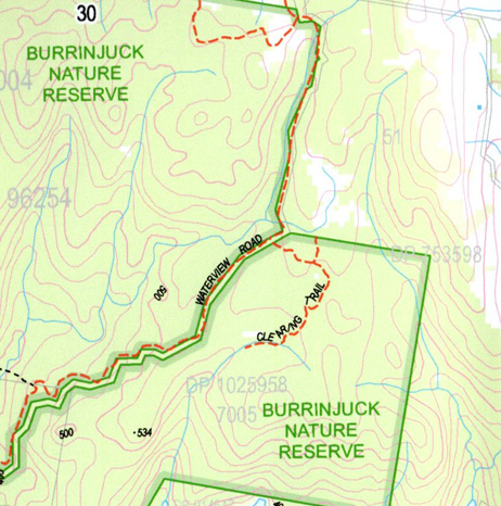
Childowla 1-25,000 NSW Topographic Map
$16.95 – $31.95
Description:
Childowla 86283S Now Print on Demand
Locations within this Map
Barbers Creek Barren Jack Creek Billys Delight Billys Delight Bay The Bluff Bluebell Hill Bogolong Creek Part Canoe Creek Carrolls Creek Carrolls Ridge Cave Island Childowla Dales Point Deep Creek Duttons Bluff Dwyers Hill Mount Europe Flaggy Creek Hannan Bay Jugiong Creek Junction Carroll Carrolls Range Coonors Creek Cumbamurra River Dwyers Hills Limestone Creek Little Jack Little Oak Creek Maceys Bay Mahkoolma Creek Matchems Creek Mistake Creek Moores Bay Narrangullen Narrangullen Creek Oak Creek Oaky Creek The Ponds Hill Ponds Mountain Rock Point The Rock Skillans Flat Snake Gully Spintop Hill Spring Creek Talmo Talmo Creek Weirs Bluff Woolgarlo Woolgarlo Creek Burnt Hut Creek Burrinjuck Burrinjuck Dam Lake Burrinjuck Burrinjuck National Park Burrinjuck State Forest Burrinjuck State Recreation Area Burrinjuck Waters Park Barren Jack Wee Jasper State Forest Burrinjuck Waters State Park Tamo Matchem Creek Goodradigbee Burrinjuck Reservoir
| Name: | Childowla |
| Publisher: | New South Wales Government |
| Scale: | 1:25000 |
| Latitude Range: | 34° 52.5′ S – 35° 0.0′ S |
| Longitude Range: | 148° 30.0′ E – 148° 45.0′ E |
| Datum: | GDA 94 |
| Approx Print Size: | 0.56m X 1.11m |


