
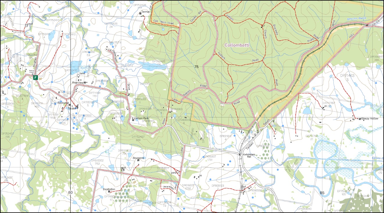
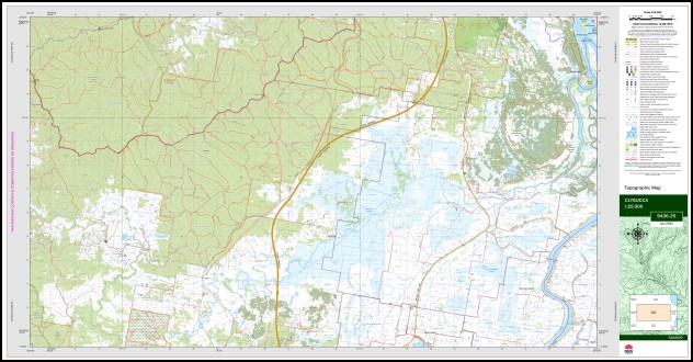
Clybucca 1-25,000 NSW Topographic Map 9436-2-S
Price range: $16.95 through $28.95
Description:
Clybucca 1-25,000 NSW Topographic Map 9436-2-S Print on Demand
Clybucca 94362s 1-25,000 scale NSW Topographical map is used for Walking, 4WD, Fishing, Camping, Motorcycle, both On and Off Road, Gold Prospecting and for those simply going for a family weekend drive.
Topographical maps show not only Contours of the Terrain but also Walking Tracks, Sealed and Unsealed Roads, Rivers, Creeks, Lakes, Historical Point of Interest, Old Mine Sites mbtg and National and State Park areas.
Locations within this Map
Barraganyatta Hut Springfield Milea-Park Andersons Inlet Baschs Gully Bellimbopinni Bellimbopinni Public School Briggs Lookout The Broadwater Inlet Buds Crossing Cedar Crossing Christmas Creek Clancys Drain Clybucca Clybucca Creek Clybucca Historic Site Collins Drain Collombatti Collombatti Creek Collombatti Rail Collombatti Rail Public School Collombatti Railway Station Cooroobongatti Cooroobongatti Swamp Eungai Creek Jocks Crossing Kinchela Kinchela Public School Kings Lookout Kings Tower Mcandrews Drain Mccabes Drain Middle Island Old Station State Forest Old Station National Forest Seven Oaks Drain Smithtown Summer Island Summer Island Drain Tamban Railway Station mbtg Tmaban Stat Forest Tanban Tanban State Forest Trial Bay Creek Yarrabandini Double Island Doughboy Swamp Seven Oaks Tamban Jacks Crossing Yarrabandinni Tamban Station Longreach Island Kinchela Creek Collombutti Creek
| Scale: | 1:25,000 |
| Latitude Range: | 30° 52.5′ S – 31° 0.0′ S |
| Longitude Range: | 152° 45.0′ E – 153° 0.0′ E |
| Datum: | GDA 2020
Edition 2025 |
You may also like…
-
Hornsby 1-25,000 NSW Topographic Map 9130-4-S
Price range: $16.95 through $28.95Select options This product has multiple variants. The options may be chosen on the product page -
Bellbrook 1-25,000 NSW Topographic Map 9436-3-N
Price range: $16.95 through $28.95Select options This product has multiple variants. The options may be chosen on the product page -
Missabotti 1-25,000 NSW Topographic Map 9436-1-N
Price range: $16.95 through $28.95Select options This product has multiple variants. The options may be chosen on the product page -
Girralong 1-25,000 NSW Topographic Map
Price range: $16.95 through $31.95Select options This product has multiple variants. The options may be chosen on the product page -
Macksville 1-25,000 NSW Topographic Map 9436-1-S
Price range: $16.95 through $28.95Select options This product has multiple variants. The options may be chosen on the product page