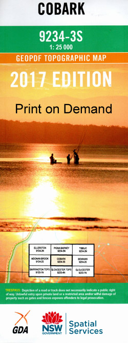
Cobark 1-25,000 NSW Topographic Map
$16.95 – $28.95
Description:
Cobark 1-25,000 NSW Topographic Map 92343-S Now Print on Demand is used for Walking, 4WD, Fishing, Camping, Motorcycle, both On and Off Road, Gold Prospecting and for those simply going for a family weekend drive.
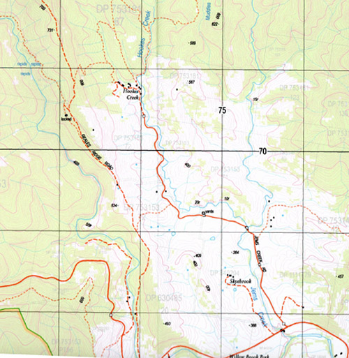
Topographical maps show not only Contours of the Terrain but also Walking Tracks, Sealed and Unsealed Roads, Rivers, Creeks, Lakes, Historical Point of Interest, Old Mine Sites and National and State Park areas.
This map includes the following localities: Woodlands Black Rock Arundel Creek Arundel River Atkins Creek Atkins Gully Barrington Barrington Tops State Forest Beean Beean Beean Beean Creek Beean Beean Falls Boombit Creek Boranel Boranel Creek Boranel Mountain Broad Gully Mount Carson Clay Gully Cobark Lookout Cobark River Ferny Creek Flaggy Creek Front Mountain Gibsons Mill Gunyah Creek Hookes Creek Jems Creek Mount Kerripit Kerripit River Cobakh River Green Gully Hole Creek Jims Creek Kholwha Creek Mount Kirripit Knowla Little Murray Creek Long Hill Milli Moppy Moppy Lookout Moppy River Morpey Creek Muddles Gully Mud Hut Creek Mud Kitchen Creek Murray Gully Nine Mile Ridge The Nine Mile Spur Rawdon Vale Rawdon Stream Sandy Creek Thunderbolts Lookout Turks Gully Walkers Creek Womboin Dilgry Falls Dilgry River Yellokok Creek Yellokok Mountain Cobark Federation Pass The Towers
| Scale: | 1:25000 |
| Latitude Range: | 31 52.5 S – 32 00.0 S |
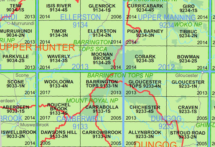
| Longitude Range: | 151 30.0 E – 151 45.0 E |
| Approx Print Size: | 0.56m X 1.11m |
| Projection: | Transverse Mercator |
Now Print on Demand


