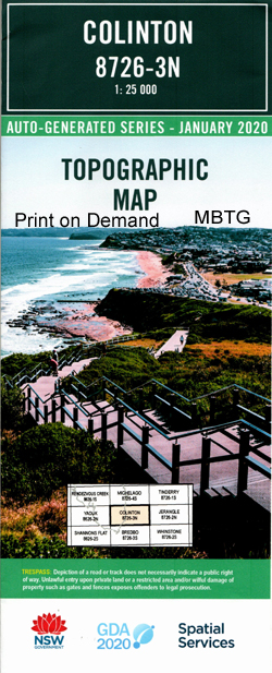
Colinton 1-25,000 NSW Topographic Map
$16.95 – $31.95
Description:
8726-1-n Print on Demand
Colinton 1-25,000 scale NSW Topographical map is used for Walking, 4WD, Fishing, Camping, Motorcycle, both On and Off Road, Gold Prospecting and for those simply going for a family weekend drive.
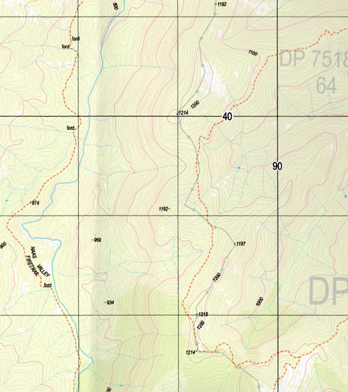
Topographical maps show not only Contours of the Terrain but also Walking Tracks, Sealed and Unsealed Roads, Rivers, Creeks, Lakes, Historical Point of Interest, Old Mine Sites and National and State Park areas.
 Laminate and folded this NSW Topographical map $12.00 see below.
Bedlam Spring Boiling Down Gully Clear Range Colinton Mount Colinton Gap Creek Hill Dyke Spring Ingalara Creek Coaches Corner Colinton Railway Station Colinton Hill Hill Dyke Public School Ingelara Creek Micaligo Michelago Myall Myall Hill Ryrie Ryrie Hill Ryries Creek The Spring Village of Colinton. Bumbalong Booth Range Grassy Creek Left Hand Creek Mount Clear Camping Ground Naas River Reedy Creek Shanahans Falls Creek Shanahans Mountain Shanahan Falls Creek Naas Creek Back Creek
| Scale: | 1:25000 |
| Latitude Range: | 35° 45.0′ S – 35° 52.5′ S |
| Longitude Range: | 149° 0.0′ E – 149° 15.0′ E |
| Datum: | GDA 94 |
| Approx Print Size: | 0.56m X 1.11m |
| Publication Date: | 2013 |


