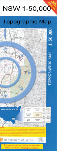
Come By Chance 1-50000 NSW Topographic Map
$16.95
Description:
Come By Chance 8537-S 1-50,000 scale NSW Topographical map is used for Walking, 4WD, Fishing, Camping, Motorcycle, both On and Off Road, Gold Prospecting and for those simply going for a family weekend drive.
Topographical maps show not only Contours of the Terrain but also Walking Tracks, Sealed and Unsealed Roads, Rivers, Creeks, Lakes, Historical Point of Interest, Old Mine Sites and National and State Park areas.
 We can Now LAMINATE and fold your map for $12.00. Just click on the image and add to the Trolley
NOW AVAILABLE PRINT ON DEMAND
Locations within this Map
Ronssay Nugal Gleneda Good Hope Longview Flemington Fernleigh Kincora Kimo Ashantee Nilma East View Hawthorn Huon Bonnay Trielmon Newlands Oakleigh Bungle Gully Bellevue Moora Notrella Kensington Kia-Ora Combogolong Mowlma Avon Brantwood Koombraganna Dahomey Tawonga Uno Six Mile Norwood Grandon Park Lochlomond Cooee-Warrah Bulgah Colless Warrambool Collinouie Colmia Combogolong Bore Come By Chance Cooeyah Warrah Cox Evans Gidginbilla Gidginbilla Dam Gular Railway Station Jamalong Keadool Kensington Bore Colless or Bungle Gully Coolgotha or The Lake Matouree Mookiello Ridge Moulma Creek Mowlma Creek No 2 Bore Nugal Swamp Polly Brewon No 2 Bore Tunda Creek Ulah Creek Warragan Wingadee Wirebrush Swamp Yarraman Lagoon Yengoolar Creek Yengoolah Gully Come By Chance Cemetery Come By Chance Graveyard Coolgotha Goolgotha Goolgotha Lake The Lake Mowlma or Tunder Creek Tunder Creek Mowlma or Bundy Creek Goangra Come-by-Chance Combogalong Teridgerie Creek Urawilkie Creek
| Name: | Come By Chance |
| Publisher: | New South Wales Government |
| Scale: | 1:50000 |
| Latitude Range: | 30° 15.0′ S – 30° 30.0′ S |
| Longitude Range: | 148° 0.0′ E – 148° 30.0′ E |
| Datum: | GDA 94 |

