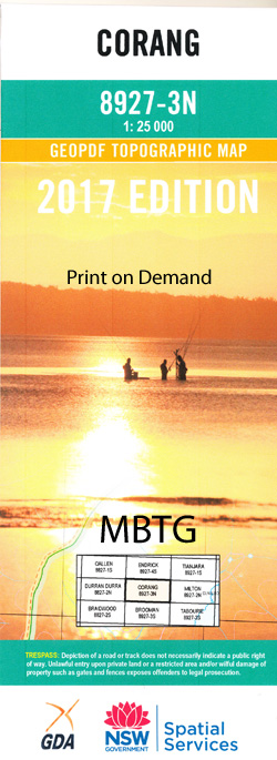
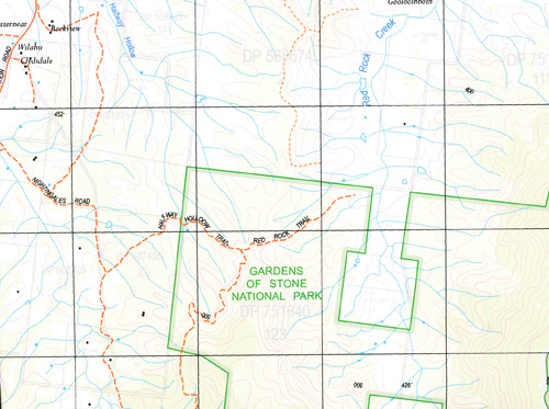
Corang 1-25,000 NSW Topographic Map
$16.95 – $28.95
Description:
Print on Demand
Buadawangs Walks on this map
Long Gully Kalianna Ridge – The Castle return
Long Gully Kalianna Ridge – Monolith Valley – Mount Owen – Shrouded Gods – Mount Nibelung return
Long Gully – Monolith Valley – Mount Cole – Camping Caves – Crooked Falls Return
Yadboro – Pidgeon House Gorge – Caves – Longfella Ridge return
Yadboro – Tinga Clearing – Clyde Ridge return
Wog Wog – Corang Peak – Burrumbeet Brook – Corang River – Goodsells Creek return
Wog Wog – Corang Peak – Bibbenluke Mountain – Mount Owen – Monolith Vallet return
Wog Wog – Cockpit Swamp – Yadboro River – Long Gully
Sassafras – Folly Point – Hollands Gorge – Angel Creek – Monolith Valley – Long Gully
Maps Endrick, Tianjara, Corang 1-25,000
Sassafras – Newhaven Gap – The Vines – Styles Creek – Mount Haughton – Mount Tarn – Monolith Gilly – Long Gully
Maps Endrick and Corang 1-25,000
Angels Falls Angel Creek Admiration Point Backhouse Creek Belowra Creek Mount Bibbenluke Bibbenluke Walls Booran Creek Broad Creek Broad Gully Broula Brook Budawang Range Canowie Brook castle Creek Castle Gap Castle Head The Castle Cockpit Swamp Mount Cole Cooyoyo Creek Corang Corang Arch Corang Peak Crooked Falls Darri Head Darri Pass Dendrobium Creek First Curradux Creek Flying Fox Gully Freeman Creek Goodsell Basin Goodsell Creek The Gulf Kalianna Ridge Campus Head Castle Flat Castle Point Demon Scrub Denrobium Creek Mount Fletcher The Gorge Great Natural Arch Mount Irambang Korra Hill Long Creek Longfella Ridge Long Gully Meakins Pass Middle Curradux Creek Mongarlowe Monolith Valley Mount Mooryan Mother Mcdonalds Creek Murrumbooie Creek Murrumbooie Falls Nettletons Creek Mount Nibelung Nibelung Pass Oaky Creek Mount Owen Mount Pataird The Peak Pickering Point Profile Rock Profile Rock Hill Mount Renwick Roswaine Mount Sapling Yard Creek Seven Gods Pinnacles Shrouded Gods Mountain Sugarloaf Creek The Sugar Loaf Third Curradux Creek Tinga Clearing Trawalla Falls Twin Hills Viney Creek Warre Head Wirritin Mountain Wirritin Ridge Wog Wog Wog Wog Creek Wog Wog Mountain Yadboro Creek Yadboro Flat Yadboro River Yadboro State Forest Yurnga Lookout Donjon Mountain Donjon Tops Burrill Burrumbeet Brook Byangee Mountain Byangee Walls Broad Creek Flora Reserve Lower Curradux Creek Endrick Yadboro Snedden Pass
| Name: | Corang |
| Publisher: | New South Wales Government |
| Scale: | 1:25000 |
| Latitude Range: | 35° 15.0′ S – 35° 22.5′ S |
| Longitude Range: | 150° 0.0′ E – 150° 15.0′ E |
| Datum: | GDA 94 |
| Approx Print Size: | 0.56m X 1.11m |


