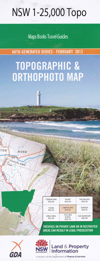
Cougal 1-25,000 NSW Topographic Map
$16.95
Description:
9441-2-1
Cougal 1-25,000 Scale NSW Topographical Map is used for Walking, 4WD, Fishing, Camping, Motorcycle, both On and Off Road, Gold Prospecting and for those simply going for a family weekend drive.
Topographical maps show not only Contours of the Terrain but also Walking Tracks, Sealed and Unsealed Roads, Rivers, Creeks, Lakes, Historical Point of Interest, Old Mine Sites and National and State Park areas.
 We can Now LAMINATE and fold your NSW 1-25,000 Topographical map for $12.00. Just click on the image and Add to the Trolley
This map includes the following localities: Glenleigh Greenacres Glenapp Greenhope Lawnhill Woodstock Beaumont Bald Knob Border Loop Border Loop Railway Station Cougal Railway Station Gipps Mount Gipps Glennies Chair Gradys Gap Lever Creek Levers Plateau Logan Creek Long Creek Long Creek Falls Mahoneys Ridge Mahoneys Spur Middle Creek Oaks Creek Oaks Gully October Creek Plateau Creek Queensland Ridge Queensland Spur Richmond Gap Right Hand Branch Sawpit Creek Surveyors Creek Western Creek Yard Creek Cougal Findon Creek Back Creek Black Gully Camp Creek Mount Chinghee Egans Gully Mount Gillies Gradys Gap Gate Grass Tree Knob Lawn Hill Locks Gully McPherson Range Neds Corner New Year Creek Palen Screw Gully Snakes Gully Spring Creek Tylerville Waiweer Mount Chinghee National Park Palen Forest Reserve 3 Palen Forest Reserve 1 Chinghee Creek Palen Creek Running Creek
| Scale: | 1:25000 |
| Latitude Range: | 28 15.0 S – 28 22.5 S |
| Longitude Range: | 152 45.0 E – 153 00.0 E |
| Approx Print Size: | 0.56m X 1.11m |
| Projection: | Transverse Mercator |

