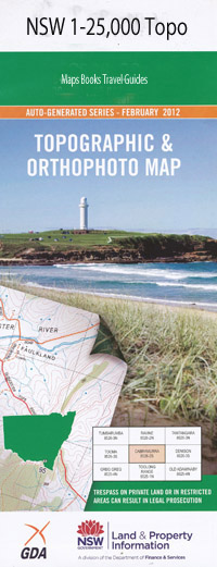
Cudgen 1-25,000 NSW Topographic Map
$16.95
Description:
9641-3-N Print on Demand
Cudgen 1-25,000 Scale NSW Topographical Map is used for Walking, 4WD, Fishing, Camping, Motorcycle, both On and Off Road, Gold Prospecting and for those simply going for a family weekend drive.
Topographical maps show not only Contours of the Terrain but also Walking Tracks, Sealed and Unsealed Roads, Rivers, Creeks, Lakes, Historical Point of Interest, Old Mine Sites and National and State Park areas.
 We can Now LAMINATE and fold your NSW 1-25,000 Topographical map for $12.00. Just click on the image and Add to the Trolley
This map includes the following localities: Bogangar Hastings Point Blacks Creek Black Creek Bogangar Beach Cabarita Beach Cabarita Beach Lions Park Christies Creek Cudgen Cudgen Creek Cudgen Headland Cudgen Lake Cudgen Public School Duranbah Public School Cudgen Scrub Public School Cudgera Headland Kingscliff Kingscliff Public School Leddays Creek Mcleods Creek Nories Head Norries Head Round Mountain Round Mountain Public School Stotts Channel Stotts Creek Stotts Island Stotts Island Nature Reserve Sutherland Point Kingscliff High School Faulks Park Bruce Chick Conservation Park Chinderah Duranbah Tanglewood Koala Beach Cudgen Nature Reserve Kings Forest Casuarina South Kingscliff South Kingscliff Beach Casuarina Beach Norries Cove Maggies Beach
| Scale: | 1:25000 |
| Latitude Range: | 28 15.0 S – 28 22.5 S |
| Longitude Range: | 153 30.0 E – 153 45.0 E |
| Approx Print Size: | 0.56m X 1.11m |
| Projection: | Transverse Mercator |

