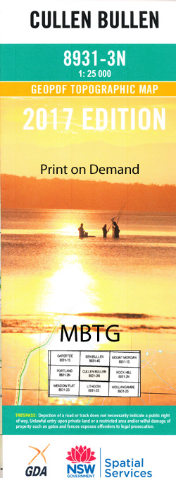
Cullen Bullen 1-25,000 NSW Topographic Map
$16.95 – $31.95
Description:
8931-3-N Print on Demand
Cullen Bullen 1-25,000 Scale NSW Topographical Map is used for Walking, 4WD, Fishing, Camping, Motorcycle, both On and Off Road, Gold Prospecting and for those simply going for a family weekend drive.
Topographical maps show not only Contours of the Terrain but also Walking Tracks, Sealed and Unsealed Roads, Rivers, Creeks, Lakes, Historical Point of Interest, Old Mine Sites and National and State Park areas.
 We can Now LAMINATE and fold your NSW 1-25,000 Topographical map for $12.00. Just click on the image and Add to the Trolley
This map includes the following localities: Morenmor Veretta Wolgan Bonnie Doon Blue Rocks Tyldesley Red Springs Beaumaris Iona Renown Pine View Rockview Rock Acres Cullen Bullen Angus Place Beecroft Ben Bullen Creek Ben Bullen Range Blackmans Flat Public School Blackfellows Hand Rock Birds Rock Cape Pinnacle Carne Creek Cox Cullen Bullen Cemetery Cullen Bullen Public School Cullen Bullen Railway Station Cullen Creek Deanes Siding Gardiners Gap Hunts Creek Invincible Jacks Camp Kangaroo Creek Coxs Creek Cullen Bullen General Cemetery Deane Siding Deans Siding Irondale Railway Station Kirbys Hill Lambs Creek Lambs Gully Long Swamp Neubecks Creek Portland Rifle Range Red Springs Creek Sunnyside Sunnyside Ridge Tydesley Tyldesley Hill Wolgan Gap Wolgan Pinnacle Wolgan River (Eastern Branch) Wolgan River(Western Branch) The Woolpack Rock Birds Rock Flora Reserve Blackmans Flat Wangcol Creek Cook Rock Hill Pinnacle Pinnacle Cape Pinnacle Wolgan Portland Reservoir
| Scale: | 1:25000 |
| Latitude Range: | 33 15.0 S – 33 22.5 S |
| Longitude Range: | 150 00.0 E – 150 15.0 E |
| Approx Print Size: | 0.56m X 1.11m |
| Projection: | Transverse Mercator |


