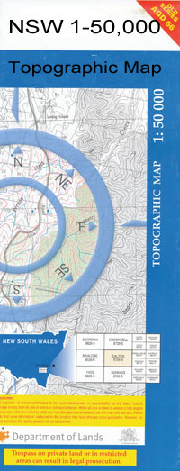
Cumnock 1-50000 NSW Topographic Map
$16.95
Description:
Cumnock 8632-S 1-50,000 scale NSW Topographical map is used for Walking, 4WD, Fishing, Camping, Motorcycle, both On and Off Road, Gold Prospecting and for those simply going for a family weekend drive.
Topographical maps show not only Contours of the Terrain but also Walking Tracks, Sealed and Unsealed Roads, Rivers, Creeks, Lakes, Historical Point of Interest, Old Mine Sites and National and State Park areas.
 We can Now LAMINATE and fold your map for $12.00. Just click on the image and add to the Trolley
NOW AVAILABLE PRINT ON DEMAND
Locations within this Map
Yarrawonga Cumnock Yeoval Back Creek Back Waterhole Creek Bakers Swamp Bakers Swamp Creek Bald Hill Baldrudgery Creek Baldry Balrudgery Creek Bell Benya Benya Creek Beeri Creek Blathery Creek Head of Blathery Creek Blathery Gap Blind Gully Bolderogery Boomey Boundary Gully Bruton Creek Buckinbah Buckinbah Creek Cap Bells Spur Capsize Gully Cardington Catombal Chinamans Flat Cooper Copper Hill Cumnock Post Office Cumnock Public School Cumnock Railway Station Cundumbul Curra Creek Dark Corner Creek Eurimbula Eurimbula Hole Eurimbula Pinnacle Finchs Flat Creek Finchs Springs Gap Creek Gap Ridge The Gap Goat Ridge Goodrich Googodery Creek Gowan Green Overfold Hanover Creek Ironbark Gully Ironbark Hill Ironbarks Jews Creek Cadumble or Loombah Creek/ Cadumble Creek Candumble Creek Cap Bells Capsize Creek Catumble Creek Darigal Eurimbla Finches Flat Creek The Gap Range Goat Hill Head of Bakers Swamp Jews Creek Well Larras Lee Long Gully Loombah Loombah Creek Loombah Loop Mehruda Big Hill Mehruda Creek Merooda Creek Molong Creek Mountain Station Creek Myrangle Creek Narragal Native Dog Creek Neurea Newrea Newrea or Bakers Swamp Creek Nora or Jews Creek Nubrigan Creek Nubrigyn Nubrigyn Creek Paling Yardscreek Peter Ward Creek The Pinnacle Redbank Creek Red Bank Creek Red Hill Robertson Flat Rocky Ponds Creek Saddle Back Peak Saddleback Peak Sandy Creek Sawpit Creek Sawpit Gully Saw Pit Gully Seven Mile Creek Sloanes Creek Snake Hole Sourges or Doughboy Creek Spring Creek Spring or Benya Creek Stables Creek Stoney Creek Stoney Hill Stony Creek Stony Hill The Junction The Well Corner Three Rivers Towan Creek Towan Dirt Holes Towans Dam Two Mile Creek Wagstaff Wallaby Rocks Warraberry Wattle Gully Weandre Creek Mount Weary West Arm Yahoo Peaks Yahoo Peak Dilga Yullundry Yullundry Railway Station Yullundry Siding Doughboy Creek Dilga Creek Bungle Creek Burgoon Burrawong Larras Lee Railway Station Balrudgery River Beri Creek Woodlark Creek Dam Creek Catombal Range Burrawong Creek Minnamurra Oakdale Balladoran Tank Boduldura Creek Yullungdry Glenrowe Mullungeen Towan Nora Creek Dundarbang
| Name: | Cumnock |
| Publisher: | New South Wales Government |
| Scale: | 1:50000 |
| Latitude Range: | 32° 45.0′ S – 33° 00.0′ S |
| Longitude Range: | 148° 30.0′ E – 149° 0.0′ E |
| Datum: | GDA 94 |

