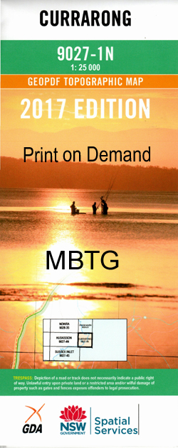
Currarong 1-25,000 NSW Topographic Map
$16.95 – $31.95
Description:
9027-1-N Now Print on Demand
Currarong 1-25,000 Scale NSW Topographical Map is used for Walking, 4WD, Fishing, Camping, Motorcycle, both On and Off Road, Gold Prospecting and for those simply going for a family weekend drive.
Topographical maps show not only Contours of the Terrain but also Walking Tracks, Sealed and Unsealed Roads, Rivers, Creeks, Lakes, Historical Point of Interest, Old Mine Sites and National and State Park areas.
 We can Now LAMINATE and fold your NSW 1-25,000 Topographical map for $12.00.
This map includes the following localities: Currarong Aborigines Gully Abrahams Bosom Beach Abrahams Bosom Creek Abrahams Bosom Reserve Beecroft Beecroft Weapons Range Beecroft Head Beecroft Peninsula Blacks Cave Creek Black Boat Cove Bindijine Beach Bindijine Jetty Bindijine Park Bindijine Bombora Rock Bream Creek Cabbage Tree Cabbage Tree Beach Cabbage Tree Point Cat Creek Chinamans Beach Crocodile Head Crookhaven Bight Currarong Beach Currarong Creek Currarong Flora Park Dart Point Devils Inlet Echo Ravine Eves Ravine Eves Reef Figtree Inlet Gosangs Tunnel Green Island Green Point Groper Coast Gum Getters Inlet Gum Getters Point Hare Bay Honeymoon Bay Devils Gorge Devils Hole Eves Rock Gum Getters Gully Hat Head Jervis Bay Lighthouse Lamond Head Little Beecroft Head Long Reef Long Beach Long Beach Reserve Longnose Point Merimbula Mermaids Inlet Middle Ground Millers Creek Montagu Point Montagu Roadstead Moonshine Gully Moores Gorge Moores Inlet Old Mans Hat Point Perpendicular Plutus Creek Point Perpendicular Lighthouse Snake Gully Snake Inlet Tadpole Swamp Target Beach Turtle Row Whale Bay Whale Cove Whale Point Wilsons Beach Wood Gully Bumbora Rock Drum and Drum Sticks Drum Inlet Duck Creek Drum Gap Boat Harbour Elliott Reserve Gorilla Cave Dolphin Reserve Plutus Reef Echo Hill Cathedral Ellesons Rift Flat Rock Smugglers Cavern Beecroft Hill Three Graves Crocodile Cave Thunderbird Wall Windjammer Wall Fish Rock Outer Tubes The Planks Gardeners Gully The Docks Inner Tubes Fishermans Beach Little Target Beach Silica Cove Duck Hole Bowen Island Governor Head
| Scale: | 1:25000 |
| Latitude Range: | 35 00.0 S – 35 07.5 S |
| Longitude Range: | 150 45.0 E – 151 00.0 E |
| Approx Print Size: | 0.56m X 1.11m |
| Projection: | Transverse Mercator |


